Area Overview for NG5 1HR
Photos of NG5 1HR
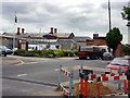
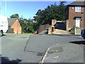
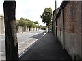
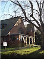
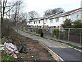
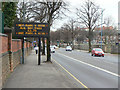

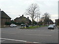
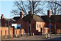
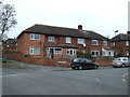
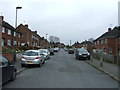
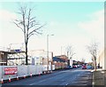
76 photos from this area
Area Information
Key information about the NG5 1HR including its size, population, and administrative classification.
- Area Type
- Postcode
- Area Size
- 2.5 hectares
- Population
- 1425
- Population Density
- 3928 people/km²
House Prices in NG5 1HR
26
Properties
£93,093
Average Sold Price
£29,000
Lowest Price
£240,000
Highest Price
Showing 26 properties
| Address | Type | Beds | Baths | Last Sale Price | Last Sale Date | |
|---|---|---|---|---|---|---|
| 9 Ventnor Rise, Nottingham, NG5 1HR | house | - | - | £240,000 | Dec 2022 | |
| 6 Ventnor Rise, Nottingham, NG5 1HR | Terraced | 2 | 1 | £138,000 | Feb 2021 | |
| 4 Ventnor Rise, Nottingham, NG5 1HR | house | 3 | 1 | £95,000 | Dec 2020 | |
| 28 Ventnor Rise, Nottingham, NG5 1HR | house | - | - | £110,000 | Jan 2018 | |
| 3 Ventnor Rise, Nottingham, NG5 1HR | house | 3 | - | £116,000 | Apr 2015 | |
| 5 Ventnor Rise, Nottingham, NG5 1HR | Semi-detached | 3 | - | £103,000 | Jun 2014 | |
| 1 Ventnor Rise, Nottingham, NG5 1HR | house | 3 | - | £100,000 | Aug 2011 | |
| 13 Ventnor Rise, Nottingham, NG5 1HR | Terraced | 3 | 1 | £117,500 | Jul 2006 | |
| 7 Ventnor Rise, Nottingham, NG5 1HR | Semi-detached | - | - | £92,000 | Sep 2004 | |
| 17 Ventnor Rise, Nottingham, NG5 1HR | Terraced | - | - | £46,300 | Dec 2001 |
Page 1 of 3
Energy Efficiency in NG5 1HR
Amenities
Schools
| Rank | School | Type | Entry gender | Ages |
|---|
Explore more schools in this area
Go to Schools tabDemographics
Household Size
Family (3-5 people)
most common
Accommodation Type
Houses
most common
Tenure
52
majority
Ethnic Group
White
most common
Religion
N/A
most common
Household Composition
N/A
most common
Age
47
median
Adults (30-64 years)
most common
Household Deprivation
N/A
with no deprivation
NS-SEC
21
in Lower managerial occupations
Explore more demographic insights in this area
Go to Demographics tabPlanning
Planning Constraints
- Flood RiskPremium
- Ramsar Wetland SitesPremium
- Area of Outstanding Natural BeautyPremium
- Protected Nature ReservePremium
- Protected WoodlandPremium