Area Overview for NG5 1HP
Photos of NG5 1HP
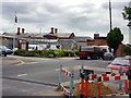
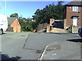
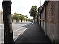
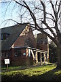
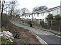
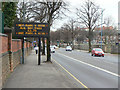

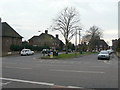
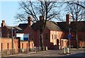
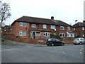
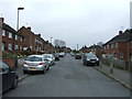
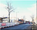
76 photos from this area
Area Information
Key information about the NG5 1HP including its size, population, and administrative classification.
- Area Type
- Postcode
- Area Size
- 2.3 hectares
- Population
- 1772
- Population Density
- 6044 people/km²
House Prices in NG5 1HP
44
Properties
£142,351
Average Sold Price
£46,000
Lowest Price
£280,000
Highest Price
Showing 44 properties
| Address | Type | Beds | Baths | Last Sale Price | Last Sale Date | |
|---|---|---|---|---|---|---|
| 351 Valley Road, Nottingham, NG5 1HP | Detached | 3 | 2 | £280,000 | Jan 2024 | |
| 383 Valley Road, Nottingham, NG5 1HP | Semi-detached | 3 | 1 | £230,000 | Sep 2023 | |
| 389 Valley Road, Nottingham, NG5 1HP | Semi-detached | 3 | 1 | £216,750 | Jun 2021 | |
| 349 Valley Road, Nottingham, NG5 1HP | house | - | - | £245,000 | May 2021 | |
| 379 Valley Road, Nottingham, NG5 1HP | Detached | 3 | 1 | £220,000 | Aug 2020 | |
| 361 Valley Road, Nottingham, NG5 1HP | Detached | 3 | 1 | £180,000 | May 2019 | |
| 357 Valley Road, Nottingham, NG5 1HP | Semi-detached | 3 | 1 | £171,665 | Jan 2019 | |
| 315A Valley Road, Nottingham, NG5 1HP | Detached | 3 | 1 | £200,000 | Jan 2019 | |
| 325 Valley Road, Nottingham, NG5 1HP | Semi-detached | 3 | 1 | £155,000 | Jun 2018 | |
| 367 Valley Road, Nottingham, NG5 1HP | house | - | - | £149,950 | Jun 2016 |
Page 1 of 5
Energy Efficiency in NG5 1HP
Amenities
Schools
| Rank | School | Type | Entry gender | Ages |
|---|
Explore more schools in this area
Go to Schools tabDemographics
Household Size
Family (3-5 people)
most common
Accommodation Type
Houses
most common
Tenure
77
majority
Ethnic Group
White
most common
Religion
N/A
most common
Household Composition
N/A
most common
Age
47
median
Adults (30-64 years)
most common
Household Deprivation
N/A
with no deprivation
NS-SEC
33
in Lower managerial occupations
Explore more demographic insights in this area
Go to Demographics tabPlanning
Planning Constraints
- Flood RiskPremium
- Ramsar Wetland SitesPremium
- Area of Outstanding Natural BeautyPremium
- Protected Nature ReservePremium
- Protected WoodlandPremium