Area Overview for NG5 1NZ
Photos of NG5 1NZ
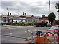
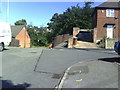
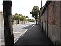
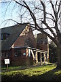
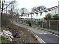
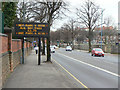

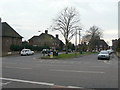
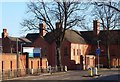
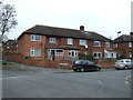
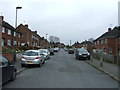
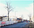
76 photos from this area
Area Information
Key information about the NG5 1NZ including its size, population, and administrative classification.
- Area Type
- Postcode
- Area Size
- 3.0 hectares
- Population
- 1425
- Population Density
- 3928 people/km²
House Prices in NG5 1NZ
19
Properties
£123,268
Average Sold Price
£47,950
Lowest Price
£200,000
Highest Price
Showing 19 properties
| Address | Type | Beds | Baths | Last Sale Price | Last Sale Date | |
|---|---|---|---|---|---|---|
| 22 Tring Vale, Nottingham, NG5 1NZ | Semi-detached | 3 | - | £195,000 | Jul 2025 | |
| 8 Tring Vale, Nottingham, NG5 1NZ | house | - | - | £200,000 | Jul 2025 | |
| 20 Tring Vale, Nottingham, NG5 1NZ | Flat | - | - | £171,000 | Mar 2021 | |
| 18 Tring Vale, Nottingham, NG5 1NZ | Flat | - | - | £150,000 | Mar 2021 | |
| 6 Tring Vale, Nottingham, NG5 1NZ | house | - | - | £78,000 | Aug 2018 | |
| 24 Tring Vale, Nottingham, NG5 1NZ | Terraced | 3 | 1 | £115,000 | May 2014 | |
| 4A Tring Vale, Nottingham, NG5 1NZ | Detached | 3 | - | £135,000 | Apr 2014 | |
| 4 Tring Vale, Nottingham, NG5 1NZ | Semi-detached | 2 | - | £98,000 | Jan 2014 | |
| 2 Tring Vale, Nottingham, NG5 1NZ | house | - | - | £85,000 | Nov 2008 | |
| 32 Tring Vale, Nottingham, NG5 1NZ | Semi-detached | - | - | £81,000 | Sep 2003 |
Page 1 of 2
Energy Efficiency in NG5 1NZ
Amenities
Schools
| Rank | School | Type | Entry gender | Ages |
|---|
Explore more schools in this area
Go to Schools tabDemographics
Household Size
Family (3-5 people)
most common
Accommodation Type
Houses
most common
Tenure
52
majority
Ethnic Group
White
most common
Religion
N/A
most common
Household Composition
N/A
most common
Age
47
median
Adults (30-64 years)
most common
Household Deprivation
N/A
with no deprivation
NS-SEC
21
in Lower managerial occupations
Explore more demographic insights in this area
Go to Demographics tabPlanning
Planning Constraints
- Flood RiskPremium
- Ramsar Wetland SitesPremium
- Area of Outstanding Natural BeautyPremium
- Protected Nature ReservePremium
- Protected WoodlandPremium