Area Overview for NG14 6JZ
Photos of NG14 6JZ
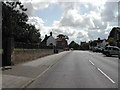
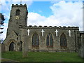
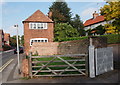
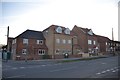
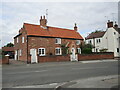
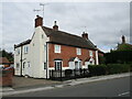
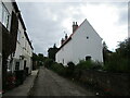
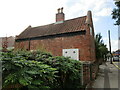
100 photos from this area
Area Information
Key information about the NG14 6JZ including its size, population, and administrative classification.
- Area Type
- Postcode
- Area Size
- 9.5 hectares
- Population
- 1325
- Population Density
- 2508 people/km²
House Prices in NG14 6JZ
26
Properties
£292,626
Average Sold Price
£72,000
Lowest Price
£1,472,572
Highest Price
Showing 26 properties
| Address | Type | Beds | Baths | Last Sale Price | Last Sale Date | |
|---|---|---|---|---|---|---|
| 26 Flatts Lane, Calverton, NG14 6JZ | Detached | 4 | 1 | £335,000 | Jul 2024 | |
| 28 Flatts Lane, Calverton, NG14 6JZ | Detached | 4 | 1 | £330,000 | Jan 2024 | |
| 64 Flatts Lane, Calverton, NG14 6JZ | Bungalow | 2 | - | £239,500 | Jun 2023 | |
| 62 Flatts Lane, Calverton, NG14 6JZ | Detached | 3 | 1 | £260,000 | May 2022 | |
| 38 Flatts Lane, Calverton, NG14 6JZ | Detached | 4 | 1 | £285,000 | Mar 2022 | |
| 56 Flatts Lane, Calverton, NG14 6JZ | Detached | 3 | 2 | £198,000 | Aug 2021 | |
| 24 Flatts Lane, Calverton, NG14 6JZ | Detached | 5 | 2 | £359,000 | Jun 2021 | |
| Long Acre Lodge, Flatts Lane, Calverton, NG14 6JZ | Detached | - | - | £1,472,572 | Feb 2021 | |
| 58 Flatts Lane, Calverton, NG14 6JZ | Detached | 4 | 1 | £240,000 | Feb 2017 | |
| 54 Flatts Lane, Calverton, NG14 6JZ | house | 3 | - | £148,000 | Mar 2016 |
Page 1 of 3
Energy Efficiency in NG14 6JZ
Amenities
Schools
| Rank | School | Type | Entry gender | Ages |
|---|
Explore more schools in this area
Go to Schools tabDemographics
Household Size
Two person
most common
Accommodation Type
Houses
most common
Tenure
53
majority
Ethnic Group
White
most common
Religion
N/A
most common
Household Composition
N/A
most common
Age
47
median
Adults (30-64 years)
most common
Household Deprivation
N/A
with no deprivation
NS-SEC
22
in Lower managerial occupations
Explore more demographic insights in this area
Go to Demographics tabPlanning
Planning Constraints
- Flood RiskPremium
- Ramsar Wetland SitesPremium
- Area of Outstanding Natural BeautyPremium
- Protected Nature ReservePremium
- Protected WoodlandPremium