Area Overview for NG14 6HL
Photos of NG14 6HL
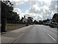
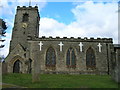
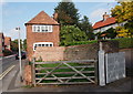
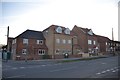
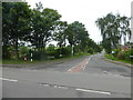
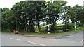
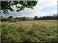
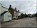
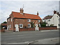
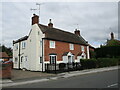
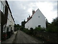
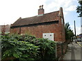
100 photos from this area
Area Information
Key information about the NG14 6HL including its size, population, and administrative classification.
- Area Type
- Postcode
- Area Size
- 6.0 hectares
- Population
- 1679
- Population Density
- 1689 people/km²
House Prices in NG14 6HL
77
Properties
£148,476
Average Sold Price
£37,500
Lowest Price
£400,000
Highest Price
Showing 77 properties
| Address | Type | Beds | Baths | Last Sale Price | Last Sale Date | |
|---|---|---|---|---|---|---|
| 54 Mansfield Lane, Calverton, NG14 6HL | Detached | 3 | 1 | £272,000 | Jan 2025 | |
| 76 Mansfield Lane, Calverton, NG14 6HL | Detached | 4 | 2 | £400,000 | Jan 2025 | |
| 38 Mansfield Lane, Calverton, NG14 6HL | house | - | - | £105,000 | Jan 2025 | |
| 46 Mansfield Lane, Calverton, NG14 6HL | Semi-detached | 3 | 1 | £215,000 | Dec 2024 | |
| 239 Mansfield Lane, Calverton, NG14 6HL | Detached | 4 | 3 | £300,000 | Jun 2024 | |
| 26 Mansfield Lane, Calverton, NG14 6HL | Semi-detached | 3 | 1 | £230,000 | Apr 2024 | |
| 98 Mansfield Lane, Calverton, NG14 6HL | Detached | 3 | 2 | £285,000 | Apr 2024 | |
| 34 Mansfield Lane, Calverton, NG14 6HL | house | - | - | £215,200 | Dec 2021 | |
| 88 Mansfield Lane, Calverton, NG14 6HL | Detached | 3 | 1 | £235,000 | Dec 2019 | |
| 118 Mansfield Lane, Calverton, NG14 6HL | Terraced | 4 | 1 | £143,000 | Sep 2019 |
Page 1 of 8
Energy Efficiency in NG14 6HL
Amenities
Schools
| Rank | School | Type | Entry gender | Ages |
|---|
Explore more schools in this area
Go to Schools tabDemographics
Household Size
Family (3-5 people)
most common
Accommodation Type
Houses
most common
Tenure
72
majority
Ethnic Group
White
most common
Religion
N/A
most common
Household Composition
N/A
most common
Age
47
median
Adults (30-64 years)
most common
Household Deprivation
N/A
with no deprivation
NS-SEC
25
in Lower managerial occupations
Explore more demographic insights in this area
Go to Demographics tabPlanning
Planning Constraints
- Flood RiskPremium
- Ramsar Wetland SitesPremium
- Area of Outstanding Natural BeautyPremium
- Protected Nature ReservePremium
- Protected WoodlandPremium