Area Overview for NG14 6SZ
Photos of NG14 6SZ
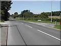
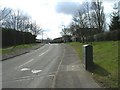
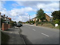
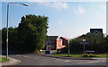
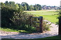
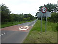
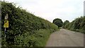
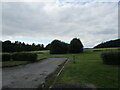
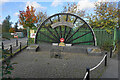
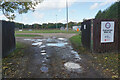
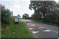
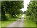
37 photos from this area
Area Information
Key information about the NG14 6SZ including its size, population, and administrative classification.
- Area Type
- Postcode
- Area Size
- 1.8 hectares
- Population
- 1843
- Population Density
- 128 people/km²
House Prices in NG14 6SZ
29
Properties
£351,409
Average Sold Price
£269,995
Lowest Price
£878,098
Highest Price
Showing 29 properties
| Address | Type | Beds | Baths | Last Sale Price | Last Sale Date | |
|---|---|---|---|---|---|---|
| 81 Park Road, Calverton, NG14 6SZ | house | - | - | £878,098 | Apr 2023 | |
| 41 Park Road, Calverton, NG14 6SZ | house | - | - | £269,995 | Feb 2023 | |
| 17 Park Road, Calverton, NG14 6SZ | house | - | - | £324,995 | Jan 2023 | |
| 7 Park Road, Calverton, NG14 6SZ | house | - | - | £322,995 | Dec 2022 | |
| 25 Park Road, Calverton, NG14 6SZ | house | - | - | £309,995 | Dec 2022 | |
| 43 Park Road, Calverton, NG14 6SZ | house | 4 | 2 | £309,995 | Dec 2022 | |
| 39 Park Road, Calverton, NG14 6SZ | house | - | - | £339,995 | Nov 2022 | |
| 29 Park Road, Calverton, NG14 6SZ | house | - | - | £339,995 | Nov 2022 | |
| 35 Park Road, Calverton, NG14 6SZ | Semi-detached | 4 | 3 | £274,995 | Oct 2022 | |
| 37 Park Road, Calverton, NG14 6SZ | house | - | - | £379,995 | Oct 2022 |
Page 1 of 3
Energy Efficiency in NG14 6SZ
Amenities
Schools
| Rank | School | Type | Entry gender | Ages |
|---|
Explore more schools in this area
Go to Schools tabDemographics
Household Size
Two person
most common
Accommodation Type
Houses
most common
Tenure
84
majority
Ethnic Group
White
most common
Religion
N/A
most common
Household Composition
N/A
most common
Age
47
median
Adults (30-64 years)
most common
Household Deprivation
N/A
with no deprivation
NS-SEC
38
in Lower managerial occupations
Explore more demographic insights in this area
Go to Demographics tabPlanning
Planning Constraints
- Flood RiskPremium
- Ramsar Wetland SitesPremium
- Area of Outstanding Natural BeautyPremium
- Protected Nature ReservePremium
- Protected WoodlandPremium