Area Overview for NG10 1NX
Photos of NG10 1NX
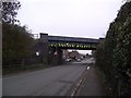
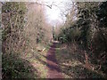
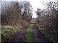
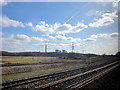
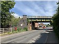
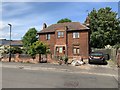
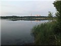
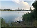
36 photos from this area
Area Information
Key information about the NG10 1NX including its size, population, and administrative classification.
- Area Type
- Postcode
- Area Size
- 9967 m²
- Population
- 1695
- Population Density
- 2870 people/km²
House Prices in NG10 1NX
33
Properties
£154,333
Average Sold Price
£43,000
Lowest Price
£290,000
Highest Price
Showing 33 properties
| Address | Type | Beds | Baths | Last Sale Price | Last Sale Date | |
|---|---|---|---|---|---|---|
| 21 Bakewell Road, Long Eaton, NG10 1NX | Detached | 3 | 1 | £290,000 | Oct 2025 | |
| 31 Bakewell Road, Long Eaton, NG10 1NX | Semi-detached | 3 | 1 | £258,000 | Aug 2025 | |
| 2 Bakewell Road, Long Eaton, NG10 1NX | Semi-detached | 3 | 1 | £250,000 | Dec 2024 | |
| 30 Bakewell Road, Long Eaton, NG10 1NX | Semi-detached | 3 | 1 | £240,000 | Dec 2024 | |
| 24 Bakewell Road, Long Eaton, NG10 1NX | Semi-detached | 3 | 1 | £259,950 | Nov 2022 | |
| 12 Bakewell Road, Long Eaton, NG10 1NX | Semi-detached | 3 | 1 | £250,000 | Jul 2022 | |
| 18 Bakewell Road, Long Eaton, NG10 1NX | Semi-detached | 2 | 1 | £175,000 | Oct 2021 | |
| 17 Bakewell Road, Long Eaton, NG10 1NX | Semi-detached | 4 | 2 | £238,000 | Mar 2021 | |
| 10 Bakewell Road, Long Eaton, NG10 1NX | Semi-detached | 3 | 2 | £212,000 | Dec 2020 | |
| 5 Bakewell Road, Long Eaton, NG10 1NX | Detached | 3 | 2 | £230,000 | Jul 2019 |
Page 1 of 4
Energy Efficiency in NG10 1NX
Amenities
Schools
| Rank | School | Type | Entry gender | Ages |
|---|
Explore more schools in this area
Go to Schools tabDemographics
Household Size
Two person
most common
Accommodation Type
Houses
most common
Tenure
73
majority
Ethnic Group
White
most common
Religion
N/A
most common
Household Composition
N/A
most common
Age
47
median
Adults (30-64 years)
most common
Household Deprivation
N/A
with no deprivation
NS-SEC
34
in Lower managerial occupations
Explore more demographic insights in this area
Go to Demographics tabPlanning
Planning Constraints
- Flood RiskPremium
- Ramsar Wetland SitesPremium
- Area of Outstanding Natural BeautyPremium
- Protected Nature ReservePremium
- Protected WoodlandPremium