Area Overview for NG10 1EU
Photos of NG10 1EU
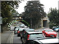
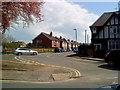
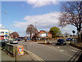
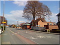
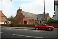

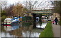
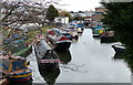
100 photos from this area
Area Information
Key information about the NG10 1EU including its size, population, and administrative classification.
- Area Type
- Postcode
- Area Size
- 1.1 hectares
- Population
- 1695
- Population Density
- 2870 people/km²
House Prices in NG10 1EU
27
Properties
£140,729
Average Sold Price
£42,000
Lowest Price
£277,000
Highest Price
Showing 27 properties
| Address | Type | Beds | Baths | Last Sale Price | Last Sale Date | |
|---|---|---|---|---|---|---|
| 12 Thorpe Leys, Long Eaton, NG10 1EU | Semi-detached | 3 | 1 | £210,000 | Jun 2021 | |
| 5 Thorpe Leys, Long Eaton, NG10 1EU | Detached | 3 | 1 | £277,000 | Jun 2020 | |
| 11 Thorpe Leys, Long Eaton, NG10 1EU | Semi-detached | 3 | 1 | £210,000 | Nov 2018 | |
| 21 Thorpe Leys, Long Eaton, NG10 1EU | Semi-detached | 3 | 1 | £166,000 | Dec 2017 | |
| 31 Thorpe Leys, Long Eaton, NG10 1EU | Semi-detached | 3 | 1 | £160,000 | Feb 2016 | |
| 10 Thorpe Leys, Long Eaton, NG10 1EU | Semi-detached | 3 | 1 | £169,995 | Jan 2016 | |
| 3 Thorpe Leys, Long Eaton, NG10 1EU | Semi-detached | 4 | 2 | £150,000 | Aug 2015 | |
| 25 Thorpe Leys, Long Eaton, NG10 1EU | Semi-detached | 3 | - | £138,000 | Jan 2015 | |
| 35 Thorpe Leys, Long Eaton, NG10 1EU | house | 3 | - | £159,995 | Dec 2012 | |
| 8 Thorpe Leys, Long Eaton, NG10 1EU | house | - | - | £171,000 | Nov 2010 |
Page 1 of 3
Energy Efficiency in NG10 1EU
Amenities
Schools
| Rank | School | Type | Entry gender | Ages |
|---|
Explore more schools in this area
Go to Schools tabDemographics
Household Size
Two person
most common
Accommodation Type
Houses
most common
Tenure
73
majority
Ethnic Group
White
most common
Religion
N/A
most common
Household Composition
N/A
most common
Age
47
median
Adults (30-64 years)
most common
Household Deprivation
N/A
with no deprivation
NS-SEC
34
in Lower managerial occupations
Explore more demographic insights in this area
Go to Demographics tabPlanning
Planning Constraints
- Flood RiskPremium
- Ramsar Wetland SitesPremium
- Area of Outstanding Natural BeautyPremium
- Protected Nature ReservePremium
- Protected WoodlandPremium