Area Overview for LE9 9FN
Photos of LE9 9FN
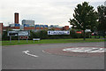
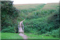
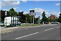

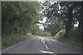
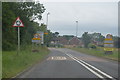
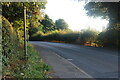
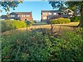
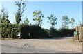
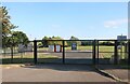
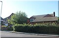
21 photos from this area
Area Information
Key information about the LE9 9FN including its size, population, and administrative classification.
- Area Type
- Postcode
- Area Size
- 6.8 hectares
- Population
- 1973
- Population Density
- 182 people/km²
House Prices in LE9 9FN
31
Properties
£506,631
Average Sold Price
£110,500
Lowest Price
£950,100
Highest Price
Showing 31 properties
| Address | Type | Beds | Baths | Last Sale Price | Last Sale Date | |
|---|---|---|---|---|---|---|
| 5 Station Road, Desford, LE9 9FN | Detached | 3 | 3 | £655,000 | Sep 2025 | |
| The Meadows, 21 Station Road, Desford, LE9 9FN | house | - | - | £950,100 | Sep 2022 | |
| 11 Station Road, Desford, LE9 9FN | Semi-detached | 6 | 3 | £620,000 | Mar 2021 | |
| 9 Station Road, Desford, LE9 9FN | Semi-detached | 5 | 3 | £670,000 | Nov 2020 | |
| Brocksway, 24 Station Road, Desford, LE9 9FN | Detached | 5 | 2 | £565,000 | Dec 2018 | |
| 7 Station Road, Desford, LE9 9FN | house | - | - | £855,000 | Sep 2018 | |
| Manor Lodge, 13 Station Road, Desford, LE9 9FN | Detached | 4 | 2 | £910,000 | May 2018 | |
| 28 Station Road, Desford, LE9 9FN | Detached | 4 | 3 | £560,000 | Aug 2015 | |
| 3 Station Road, Desford, LE9 9FN | Bungalow | 4 | - | £408,750 | Nov 2014 | |
| 28A Station Road, Desford, LE9 9FN | Detached | 4 | 3 | £485,000 | Jun 2014 |
Page 1 of 4
Energy Efficiency in LE9 9FN
Amenities
Schools
| Rank | School | Type | Entry gender | Ages |
|---|
Explore more schools in this area
Go to Schools tabDemographics
Household Size
Two person
most common
Accommodation Type
Houses
most common
Tenure
89
majority
Ethnic Group
White
most common
Religion
N/A
most common
Household Composition
N/A
most common
Age
47
median
Adults (30-64 years)
most common
Household Deprivation
N/A
with no deprivation
NS-SEC
47
in Lower managerial occupations
Explore more demographic insights in this area
Go to Demographics tabPlanning
Planning Constraints
- Flood RiskPremium
- Ramsar Wetland SitesPremium
- Area of Outstanding Natural BeautyPremium
- Protected Nature ReservePremium
- Protected WoodlandPremium