Area Overview for LE7 7BZ
Photos of LE7 7BZ
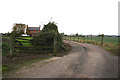
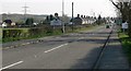
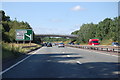
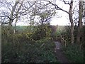
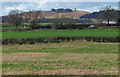
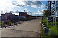
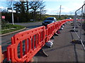
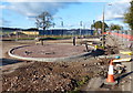
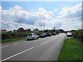
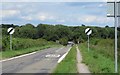
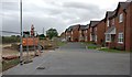
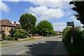
29 photos from this area
Area Information
Key information about the LE7 7BZ including its size, population, and administrative classification.
- Area Type
- Postcode
- Area Size
- 1.1 hectares
- Population
- 1272
- Population Density
- 3000 people/km²
House Prices in LE7 7BZ
23
Properties
£185,083
Average Sold Price
£58,000
Lowest Price
£300,000
Highest Price
Showing 23 properties
| Address | Type | Beds | Baths | Last Sale Price | Last Sale Date | |
|---|---|---|---|---|---|---|
| 97 Link Road, Anstey, LE7 7BZ | house | - | - | £300,000 | Aug 2021 | |
| 105 Link Road, Anstey, LE7 7BZ | house | - | - | £235,000 | Apr 2021 | |
| 125 Link Road, Anstey, LE7 7BZ | Semi-detached | 3 | 1 | £228,000 | Jun 2020 | |
| 109 Link Road, Anstey, LE7 7BZ | Detached | 3 | 2 | £233,500 | Apr 2020 | |
| 103 Link Road, Anstey, LE7 7BZ | Detached | 3 | 1 | £227,000 | Apr 2019 | |
| 91 Link Road, Anstey, LE7 7BZ | house | - | - | £190,000 | Jan 2018 | |
| 117 Link Road, Anstey, LE7 7BZ | house | - | - | £177,000 | Dec 2015 | |
| 107 Link Road, Anstey, LE7 7BZ | house | - | - | £180,000 | Nov 2013 | |
| 101 Link Road, Anstey, LE7 7BZ | house | - | - | £155,000 | Jun 2009 | |
| 95 Link Road, Anstey, LE7 7BZ | Detached | 3 | 1 | £155,000 | Apr 2006 |
Page 1 of 3
Energy Efficiency in LE7 7BZ
Amenities
Schools
| Rank | School | Type | Entry gender | Ages |
|---|
Explore more schools in this area
Go to Schools tabDemographics
Household Size
Family (3-5 people)
most common
Accommodation Type
Houses
most common
Tenure
73
majority
Ethnic Group
White
most common
Religion
N/A
most common
Household Composition
N/A
most common
Age
47
median
Adults (30-64 years)
most common
Household Deprivation
N/A
with no deprivation
NS-SEC
25
in Lower managerial occupations
Explore more demographic insights in this area
Go to Demographics tabPlanning
Planning Constraints
- Flood RiskPremium
- Ramsar Wetland SitesPremium
- Area of Outstanding Natural BeautyPremium
- Protected Nature ReservePremium
- Protected WoodlandPremium