Area Overview for LE7 7BX
Photos of LE7 7BX
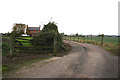
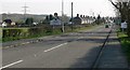
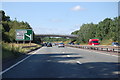
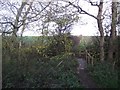
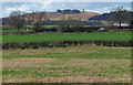
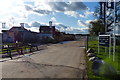
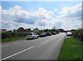
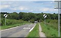
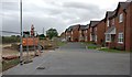
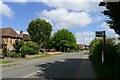
29 photos from this area
Area Information
Key information about the LE7 7BX including its size, population, and administrative classification.
- Area Type
- Postcode
- Area Size
- 8666 m²
- Population
- 1272
- Population Density
- 3000 people/km²
House Prices in LE7 7BX
30
Properties
£182,246
Average Sold Price
£48,500
Lowest Price
£277,000
Highest Price
Showing 30 properties
| Address | Type | Beds | Baths | Last Sale Price | Last Sale Date | |
|---|---|---|---|---|---|---|
| 64 Link Road, Anstey, LE7 7BX | Semi-detached | 3 | 1 | £260,000 | Aug 2025 | |
| 94 Link Road, Anstey, LE7 7BX | Detached | 3 | 1 | £275,000 | Jun 2025 | |
| 114 Link Road, Anstey, LE7 7BX | Semi-detached | 4 | 2 | £277,000 | Apr 2025 | |
| 84 Link Road, Anstey, LE7 7BX | house | - | - | £225,000 | Jun 2021 | |
| 82 Link Road, Anstey, LE7 7BX | Semi-detached | 3 | 1 | £235,000 | Jun 2021 | |
| 98 Link Road, Anstey, LE7 7BX | Semi-detached | 3 | 1 | £256,000 | Feb 2020 | |
| 70 Link Road, Anstey, LE7 7BX | Semi-detached | 3 | 1 | £210,000 | Oct 2018 | |
| 116 Link Road, Anstey, LE7 7BX | house | 3 | - | £157,000 | Mar 2011 | |
| 76 Link Road, Anstey, LE7 7BX | Semi-detached | - | - | £150,000 | Mar 2008 | |
| 100 Link Road, Anstey, LE7 7BX | house | - | - | £147,000 | Jun 2006 |
Page 1 of 3
Energy Efficiency in LE7 7BX
Amenities
Schools
| Rank | School | Type | Entry gender | Ages |
|---|
Explore more schools in this area
Go to Schools tabDemographics
Household Size
Family (3-5 people)
most common
Accommodation Type
Houses
most common
Tenure
73
majority
Ethnic Group
White
most common
Religion
N/A
most common
Household Composition
N/A
most common
Age
47
median
Adults (30-64 years)
most common
Household Deprivation
N/A
with no deprivation
NS-SEC
25
in Lower managerial occupations
Explore more demographic insights in this area
Go to Demographics tabPlanning
Planning Constraints
- Flood RiskPremium
- Ramsar Wetland SitesPremium
- Area of Outstanding Natural BeautyPremium
- Protected Nature ReservePremium
- Protected WoodlandPremium