Area Overview for LE7 7ES
Photos of LE7 7ES
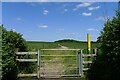
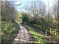
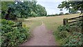
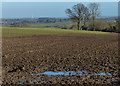
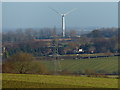
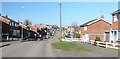
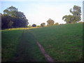

12 photos from this area
Area Information
Key information about the LE7 7ES including its size, population, and administrative classification.
- Area Type
- Postcode
- Area Size
- 8.1 hectares
- Population
- 1272
- Population Density
- 3000 people/km²
House Prices in LE7 7ES
48
Properties
£131,154
Average Sold Price
£45,000
Lowest Price
£241,500
Highest Price
Showing 48 properties
| Address | Type | Beds | Baths | Last Sale Price | Last Sale Date | |
|---|---|---|---|---|---|---|
| 14 Netherfield Road, Anstey, LE7 7ES | Semi-detached | 2 | 1 | £240,000 | Mar 2025 | |
| 46 Netherfield Road, Anstey, LE7 7ES | house | 2 | 1 | £241,500 | Jul 2022 | |
| 18 Netherfield Road, Anstey, LE7 7ES | house | - | - | £200,000 | Mar 2021 | |
| 38 Netherfield Road, Anstey, LE7 7ES | house | - | - | £195,000 | Feb 2021 | |
| 56 Netherfield Road, Anstey, LE7 7ES | Semi-detached | 4 | 1 | £188,750 | Sep 2019 | |
| 33 Netherfield Road, Anstey, LE7 7ES | Semi-detached | 3 | 1 | £212,000 | Apr 2019 | |
| 28 Netherfield Road, Anstey, LE7 7ES | Semi-detached | 3 | 1 | £206,000 | Feb 2019 | |
| 17 Netherfield Road, Anstey, LE7 7ES | house | - | - | £145,000 | Dec 2015 | |
| 30 Netherfield Road, Anstey, LE7 7ES | house | - | - | £130,000 | Oct 2013 | |
| 42 Netherfield Road, Anstey, LE7 7ES | house | - | - | £164,000 | Aug 2012 |
Page 1 of 5
Energy Efficiency in LE7 7ES
Amenities
Schools
| Rank | School | Type | Entry gender | Ages |
|---|
Explore more schools in this area
Go to Schools tabDemographics
Household Size
Family (3-5 people)
most common
Accommodation Type
Houses
most common
Tenure
73
majority
Ethnic Group
White
most common
Religion
N/A
most common
Household Composition
N/A
most common
Age
47
median
Adults (30-64 years)
most common
Household Deprivation
N/A
with no deprivation
NS-SEC
25
in Lower managerial occupations
Explore more demographic insights in this area
Go to Demographics tabPlanning
Planning Constraints
- Flood RiskPremium
- Ramsar Wetland SitesPremium
- Area of Outstanding Natural BeautyPremium
- Protected Nature ReservePremium
- Protected WoodlandPremium