Area Overview for LE5 2FE
Photos of LE5 2FE
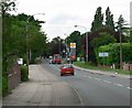
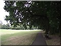
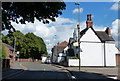
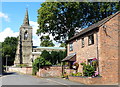
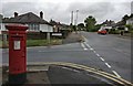
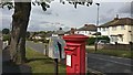
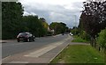
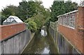
34 photos from this area
Area Information
Key information about the LE5 2FE including its size, population, and administrative classification.
- Area Type
- Postcode
- Area Size
- 3.3 hectares
- Population
- 2005
- Population Density
- 4479 people/km²
House Prices in LE5 2FE
36
Properties
£198,435
Average Sold Price
£51,000
Lowest Price
£379,995
Highest Price
Showing 36 properties
| Address | Type | Beds | Baths | Last Sale Price | Last Sale Date | |
|---|---|---|---|---|---|---|
| 81 Scraptoft Lane, Leicester, LE5 2FE | Semi-detached | 3 | 1 | £305,000 | Aug 2024 | |
| 113 Scraptoft Lane, Leicester, LE5 2FE | Semi-detached | 3 | - | £277,000 | Aug 2021 | |
| 97 Scraptoft Lane, Leicester, LE5 2FE | house | - | - | £320,500 | Mar 2021 | |
| 91 Scraptoft Lane, Leicester, LE5 2FE | house | - | - | £379,995 | Jan 2021 | |
| 127 Scraptoft Lane, Leicester, LE5 2FE | Semi-detached | 5 | 2 | £333,000 | May 2020 | |
| 83 Scraptoft Lane, Leicester, LE5 2FE | Semi-detached | 3 | 1 | £210,000 | Nov 2019 | |
| 107 Scraptoft Lane, Leicester, LE5 2FE | Detached | 3 | - | £290,000 | Apr 2018 | |
| 85 Scraptoft Lane, Leicester, LE5 2FE | house | - | - | £122,000 | Mar 2017 | |
| 69 Scraptoft Lane, Leicester, LE5 2FE | Terraced | 2 | 1 | £173,500 | Nov 2016 | |
| 123 Scraptoft Lane, Leicester, LE5 2FE | Detached | 3 | 1 | £191,500 | Aug 2016 |
Page 1 of 4
Energy Efficiency in LE5 2FE
Amenities
Schools
| Rank | School | Type | Entry gender | Ages |
|---|
Explore more schools in this area
Go to Schools tabDemographics
Household Size
Family (3-5 people)
most common
Accommodation Type
Houses
most common
Tenure
65
majority
Ethnic Group
asian_total
most common
Religion
N/A
most common
Household Composition
N/A
most common
Age
47
median
Adults (30-64 years)
most common
Household Deprivation
N/A
with no deprivation
NS-SEC
27
in Lower managerial occupations
Explore more demographic insights in this area
Go to Demographics tabPlanning
Planning Constraints
- Flood RiskPremium
- Ramsar Wetland SitesPremium
- Area of Outstanding Natural BeautyPremium
- Protected Nature ReservePremium
- Protected WoodlandPremium