Area Overview for DE74 2FR
Photos of DE74 2FR
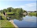
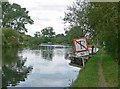
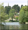
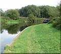
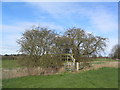
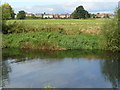
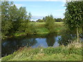
62 photos from this area
Area Information
Key information about the DE74 2FR including its size, population, and administrative classification.
- Area Type
- Postcode
- Area Size
- 89.2 hectares
- Population
- 2786
- Population Density
- 148 people/km²
House Prices in DE74 2FR
93
Properties
£161,315
Average Sold Price
£26,000
Lowest Price
£385,000
Highest Price
Showing 93 properties
| Address | Type | Beds | Baths | Last Sale Price | Last Sale Date | |
|---|---|---|---|---|---|---|
| 103 Station Road, Kegworth, DE74 2FR | Semi-detached | 4 | 2 | £288,290 | Jun 2025 | |
| 62 Station Road, Kegworth, DE74 2FR | Terraced | 2 | 1 | £180,000 | Jul 2024 | |
| 83 Station Road, Kegworth, DE74 2FR | Semi-detached | 3 | 1 | £240,000 | Jan 2024 | |
| 125 Station Road, Kegworth, DE74 2FR | Semi-detached | 3 | 1 | £235,000 | Aug 2023 | |
| 133 Station Road, Kegworth, DE74 2FR | Semi-detached | 2 | 1 | £200,000 | Mar 2023 | |
| 114 Station Road, Kegworth, DE74 2FR | Semi-detached | 2 | 1 | £207,500 | Apr 2022 | |
| 112 Station Road, Kegworth, DE74 2FR | house | 2 | 1 | £202,000 | Apr 2022 | |
| 63 Station Road, Kegworth, DE74 2FR | Cottage | 2 | 1 | £187,000 | Mar 2022 | |
| 117 Station Road, Kegworth, DE74 2FR | Semi-detached | 3 | 1 | £145,000 | Jan 2021 | |
| 75 Station Road, Kegworth, DE74 2FR | house | - | - | £183,000 | Aug 2020 |
Page 1 of 10
Energy Efficiency in DE74 2FR
Amenities
Schools
| Rank | School | Type | Entry gender | Ages |
|---|
Explore more schools in this area
Go to Schools tabDemographics
Household Size
Two person
most common
Accommodation Type
Houses
most common
Tenure
77
majority
Ethnic Group
White
most common
Religion
N/A
most common
Household Composition
N/A
most common
Age
47
median
Young Adults (15-29 years)
most common
Household Deprivation
N/A
with no deprivation
NS-SEC
32
in Lower managerial occupations
Explore more demographic insights in this area
Go to Demographics tabPlanning
Planning Constraints
- Flood RiskPremium
- Ramsar Wetland SitesPremium
- Area of Outstanding Natural BeautyPremium
- Protected Nature ReservePremium
- Protected WoodlandPremium