Area Overview for DE74 2EU
Photos of DE74 2EU
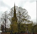
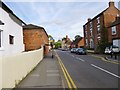
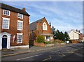
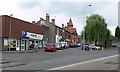
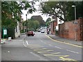
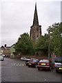
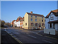
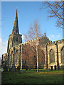

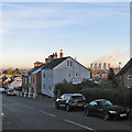
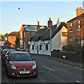
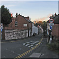
100 photos from this area
Area Information
Key information about the DE74 2EU including its size, population, and administrative classification.
- Area Type
- Postcode
- Area Size
- 15.7 hectares
- Population
- 1726
- Population Density
- 1974 people/km²
House Prices in DE74 2EU
53
Properties
£287,014
Average Sold Price
£71,000
Lowest Price
£575,000
Highest Price
Showing 53 properties
| Address | Type | Beds | Baths | Last Sale Price | Last Sale Date | |
|---|---|---|---|---|---|---|
| 28 London Road, Kegworth, DE74 2EU | Detached | 4 | 2 | £478,750 | Jul 2024 | |
| 1, Cross Keys House, London Road, Kegworth, DE74 2EU | Flat | - | - | £460,000 | Nov 2023 | |
| 30 London Road, Kegworth, DE74 2EU | house | - | - | £375,000 | Apr 2023 | |
| 1, Britannia House, London Road, Kegworth, DE74 2EU | Flat | - | - | £520,000 | Mar 2023 | |
| The Cedars, 29 London Road, Kegworth, DE74 2EU | Detached | 5 | 2 | £450,000 | Nov 2022 | |
| 21 London Road, Kegworth, DE74 2EU | Cottage | 2 | 1 | £110,000 | Jul 2022 | |
| 12 London Road, Kegworth, DE74 2EU | Terraced | 3 | 1 | £240,000 | May 2022 | |
| 33A London Road, Kegworth, DE74 2EU | Detached | 5 | 3 | £575,000 | Dec 2019 | |
| 32 London Road, Kegworth, DE74 2EU | Detached | 5 | 2 | £410,000 | May 2019 | |
| 24 London Road, Kegworth, DE74 2EU | Semi-detached | 3 | 1 | £160,000 | Nov 2018 |
Page 1 of 6
Energy Efficiency in DE74 2EU
Amenities
Schools
| Rank | School | Type | Entry gender | Ages |
|---|
Explore more schools in this area
Go to Schools tabDemographics
Household Size
Two person
most common
Accommodation Type
Houses
most common
Tenure
66
majority
Ethnic Group
White
most common
Religion
N/A
most common
Household Composition
N/A
most common
Age
47
median
Adults (30-64 years)
most common
Household Deprivation
N/A
with no deprivation
NS-SEC
30
in Lower managerial occupations
Explore more demographic insights in this area
Go to Demographics tabPlanning
Planning Constraints
- Flood RiskPremium
- Ramsar Wetland SitesPremium
- Area of Outstanding Natural BeautyPremium
- Protected Nature ReservePremium
- Protected WoodlandPremium