Area Overview for DE74 2FX
Photos of DE74 2FX
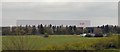
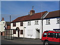
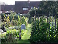
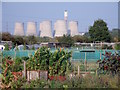
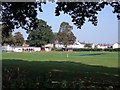
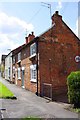
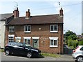
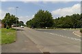
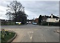
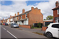
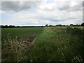
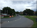
25 photos from this area
Area Information
Key information about the DE74 2FX including its size, population, and administrative classification.
- Area Type
- Postcode
- Area Size
- 2.7 hectares
- Population
- 2017
- Population Density
- 641 people/km²
House Prices in DE74 2FX
53
Properties
£218,944
Average Sold Price
£31,000
Lowest Price
£515,000
Highest Price
Showing 53 properties
| Address | Type | Beds | Baths | Last Sale Price | Last Sale Date | |
|---|---|---|---|---|---|---|
| 43 Mill Lane, Kegworth, DE74 2FX | Detached | 5 | 2 | £385,000 | Sep 2025 | |
| 48 Mill Lane, Kegworth, DE74 2FX | house | - | - | £267,500 | Mar 2025 | |
| 13 Mill Lane, Kegworth, DE74 2FX | Terraced | 3 | 1 | £176,000 | Jun 2024 | |
| 4 Mill Lane, Kegworth, DE74 2FX | Terraced | 3 | 1 | £240,000 | Aug 2023 | |
| 27 Mill Lane, Kegworth, DE74 2FX | Retail | 4 | 2 | £410,000 | Mar 2022 | |
| 17 Mill Lane, Kegworth, DE74 2FX | house | - | - | £145,000 | Feb 2022 | |
| 45 Mill Lane, Kegworth, DE74 2FX | Semi-detached | 4 | 1 | £515,000 | Oct 2021 | |
| 39 Mill Lane, Kegworth, DE74 2FX | Detached | 3 | 2 | £265,000 | Jul 2021 | |
| 31 Mill Lane, Kegworth, DE74 2FX | Semi-detached | 5 | 2 | £260,000 | Jun 2019 | |
| 24 Mill Lane, Kegworth, DE74 2FX | Terraced | 3 | 1 | £142,500 | Sep 2016 |
Page 1 of 6
Energy Efficiency in DE74 2FX
Amenities
Schools
| Rank | School | Type | Entry gender | Ages |
|---|
Explore more schools in this area
Go to Schools tabDemographics
Household Size
One person
most common
Accommodation Type
Houses
most common
Tenure
54
majority
Ethnic Group
White
most common
Religion
N/A
most common
Household Composition
N/A
most common
Age
47
median
Adults (30-64 years)
most common
Household Deprivation
N/A
with no deprivation
NS-SEC
28
in Lower managerial occupations
Explore more demographic insights in this area
Go to Demographics tabPlanning
Planning Constraints
- Flood RiskPremium
- Ramsar Wetland SitesPremium
- Area of Outstanding Natural BeautyPremium
- Protected Nature ReservePremium
- Protected WoodlandPremium