Area Overview for DE55 6EH
Photos of DE55 6EH
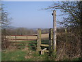
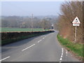
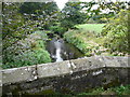
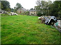
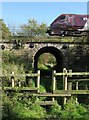
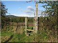
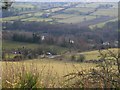
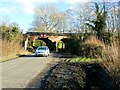

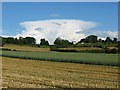
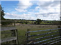
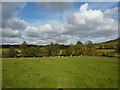
24 photos from this area
Area Information
Key information about the DE55 6EH including its size, population, and administrative classification.
- Area Type
- Postcode
- Area Size
- 52.5 hectares
- Population
- 1650
- Population Density
- 786 people/km²
House Prices in DE55 6EH
73
Properties
£290,872
Average Sold Price
£5,880
Lowest Price
£735,000
Highest Price
Showing 73 properties
| Address | Type | Beds | Baths | Last Sale Price | Last Sale Date | |
|---|---|---|---|---|---|---|
| 51 Main Road, Higham, DE55 6EH | Detached | 3 | 2 | £360,000 | Mar 2025 | |
| 25 Main Road, Higham, DE55 6EH | Semi-detached | 2 | 1 | £318,000 | Apr 2024 | |
| 1, The Old Barn, Main Road, Higham, DE55 6EH | Detached | 4 | 2 | £568,500 | Dec 2022 | |
| 43 Main Road, Higham, DE55 6EH | Retail | 2 | 1 | £440,000 | Sep 2022 | |
| 54 Main Road, Higham, DE55 6EH | Retail | 3 | 1 | £370,000 | May 2022 | |
| 34 Main Road, Higham, DE55 6EH | Cottage | 2 | 1 | £209,000 | Apr 2022 | |
| Gables Farm, Main Road, Higham, DE55 6EH | house | - | - | £650,000 | Nov 2021 | |
| Longbourne Chase, Main Road, Higham, DE55 6EH | Detached | 5 | 2 | £490,000 | Sep 2021 | |
| 2, Turpins Cottages, Main Road, Higham, DE55 6EH | Semi-detached | - | - | £380,000 | Dec 2020 | |
| St Andrews, Main Road, Higham, DE55 6EH | Detached | 5 | 2 | £735,000 | Nov 2018 |
Page 1 of 8
Energy Efficiency in DE55 6EH
Amenities
Schools
| Rank | School | Type | Entry gender | Ages |
|---|
Explore more schools in this area
Go to Schools tabDemographics
Household Size
Two person
most common
Accommodation Type
Houses
most common
Tenure
51
majority
Ethnic Group
White
most common
Religion
N/A
most common
Household Composition
N/A
most common
Age
47
median
Adults (30-64 years)
most common
Household Deprivation
N/A
with no deprivation
NS-SEC
23
in Lower managerial occupations
Explore more demographic insights in this area
Go to Demographics tabPlanning
Planning Constraints
- Flood RiskPremium
- Ramsar Wetland SitesPremium
- Area of Outstanding Natural BeautyPremium
- Protected Nature ReservePremium
- Protected WoodlandPremium