Area Overview for DE55 6EF
Photos of DE55 6EF
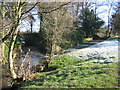
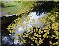
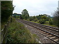
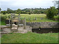
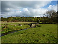
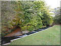
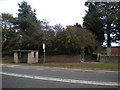
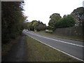
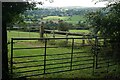
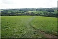
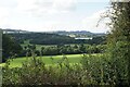
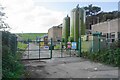
28 photos from this area
Area Information
Key information about the DE55 6EF including its size, population, and administrative classification.
- Area Type
- Postcode
- Area Size
- 21.8 hectares
- Population
- 1650
- Population Density
- 786 people/km²
House Prices in DE55 6EF
12
Properties
£310,583
Average Sold Price
£200,000
Lowest Price
£385,000
Highest Price
Showing 12 properties
| Address | Type | Beds | Baths | Last Sale Price | Last Sale Date | |
|---|---|---|---|---|---|---|
| 22-23 Main Road, Higham, DE55 6EF | Cottage | 4 | 3 | £385,000 | Aug 2020 | |
| Holly Tree Farm, Main Road, Higham, DE55 6EF | Terraced | - | - | £385,000 | Aug 2020 | |
| The Orchard, Main Road, Higham, DE55 6EF | Bungalow | 3 | 1 | £297,500 | Jul 2015 | |
| Well Farm, Main Road, Higham, DE55 6EF | Cottage | 3 | 1 | £200,000 | Dec 2014 | |
| Amber Valley Cottage, Main Road, Higham, DE55 6EF | Detached | 3 | 1 | £250,000 | Sep 2012 | |
| Apuldram Barn, Main Road, Higham, DE55 6EF | Terraced | - | - | £346,000 | Jun 2003 | |
| 8 Main Road, Higham, DE55 6EF | Detached | 4 | - | - | - | |
| Quarry Farm, Main Road, Higham, DE55 6EF | Land | - | - | - | - | |
| Meadow View Barn, Well Farm, Main Road, Higham, DE55 6EF | Farm | - | - | - | - | |
| Managers Accommodation, The Greyhound, Main Road, Higham, DE55 6EF | Flat | - | - | - | - |
Page 1 of 2
Energy Efficiency in DE55 6EF
Amenities
Schools
| Rank | School | Type | Entry gender | Ages |
|---|
Explore more schools in this area
Go to Schools tabDemographics
Household Size
Two person
most common
Accommodation Type
Houses
most common
Tenure
51
majority
Ethnic Group
White
most common
Religion
N/A
most common
Household Composition
N/A
most common
Age
47
median
Adults (30-64 years)
most common
Household Deprivation
N/A
with no deprivation
NS-SEC
23
in Lower managerial occupations
Explore more demographic insights in this area
Go to Demographics tabPlanning
Planning Constraints
- Flood RiskPremium
- Ramsar Wetland SitesPremium
- Area of Outstanding Natural BeautyPremium
- Protected Nature ReservePremium
- Protected WoodlandPremium