Area Overview for DE55 1AN
Photos of DE55 1AN
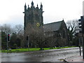
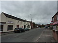
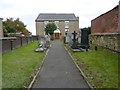
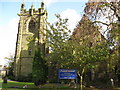
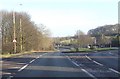
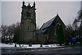
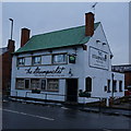
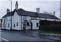
41 photos from this area
Area Information
Key information about the DE55 1AN including its size, population, and administrative classification.
- Area Type
- Postcode
- Area Size
- 5238 m²
- Population
- 1340
- Population Density
- 1787 people/km²
House Prices in DE55 1AN
19
Properties
£87,086
Average Sold Price
£32,000
Lowest Price
£260,000
Highest Price
Showing 19 properties
| Address | Type | Beds | Baths | Last Sale Price | Last Sale Date | |
|---|---|---|---|---|---|---|
| 30 The Green, Swanwick, Alfreton, DE55 1AN | Terraced | 2 | 1 | £105,000 | May 2025 | |
| Mill Cottage, 49 The Green, Swanwick, Alfreton, DE55 1AN | Cottage | 3 | 1 | £260,000 | Nov 2022 | |
| 27 The Green, Swanwick, Alfreton, DE55 1AN | house | - | - | £139,000 | Apr 2021 | |
| 29 The Green, Swanwick, Alfreton, DE55 1AN | house | 2 | - | £62,000 | Oct 2016 | |
| 24 The Green, Swanwick, Alfreton, DE55 1AN | house | - | - | £86,500 | Feb 2007 | |
| 48 The Green, Swanwick, Alfreton, DE55 1AN | Terraced | - | - | £74,950 | Jun 2004 | |
| 31 The Green, Swanwick, Alfreton, DE55 1AN | Terraced | 2 | 2 | £50,000 | Nov 2003 | |
| 32A The Green, Swanwick, Alfreton, DE55 1AN | Terraced | - | - | £41,000 | Nov 2002 | |
| 34 The Green, Swanwick, Alfreton, DE55 1AN | Detached | - | - | £65,000 | Jun 2002 | |
| 47 The Green, Swanwick, Alfreton, DE55 1AN | Terraced | - | - | £42,500 | Feb 2002 |
Page 1 of 2
Energy Efficiency in DE55 1AN
Amenities
Schools
| Rank | School | Type | Entry gender | Ages |
|---|
Explore more schools in this area
Go to Schools tabDemographics
Household Size
Two person
most common
Accommodation Type
Houses
most common
Tenure
72
majority
Ethnic Group
White
most common
Religion
N/A
most common
Household Composition
N/A
most common
Age
47
median
Adults (30-64 years)
most common
Household Deprivation
N/A
with no deprivation
NS-SEC
29
in Lower managerial occupations
Explore more demographic insights in this area
Go to Demographics tabPlanning
Planning Constraints
- Flood RiskPremium
- Ramsar Wetland SitesPremium
- Area of Outstanding Natural BeautyPremium
- Protected Nature ReservePremium
- Protected WoodlandPremium