Area Overview for Minera Community
Photos of Minera Community
Area Information
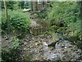
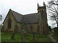
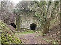
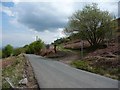
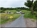
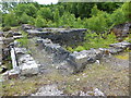
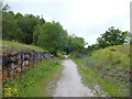
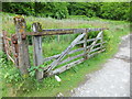
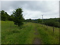
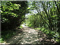
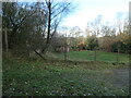
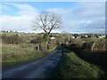
Minera Community is a civil parish in Wales covering an area of 11.8 km². This small footprint defines a contained environment where residents live close to one another. The locality is characterised by its rural setting, which shapes the daily rhythm of living here. Most people find their daily needs within walking distance because the parish is compact. You do not need to travel far to access the core of the community. The land itself forms a significant part of the local landscape, blending residential spaces with the surrounding countryside. Living in Minera Community means accepting a layout that prioritises quiet over urban convenience. The distinct nature of this civil parish creates a specific type of lifestyle suited to those who value space and tranquillity. Homebuyers should note that the area's size limits the variety of streets and districts you might find in larger towns. Instead, the experience revolves around the open character of the land. The designation as a parish provides a clear administrative boundary for these residents. You are buying into a defined zone where the community plan remains recognisable. The physical dimensions of the area support a low-impact way of life. This clarity makes it easier to understand what daily mobility looks like in the vicinity.
- Area Type
- Parish
- Area Size
- 11.8 km²
- Population
- Not available
- Population Density
- Not available
Demographics
The community profile in Minera Community reflects a settlement with an older population. The median age for residents is 70 years. This figure indicates a significant proportion of elderly homeowners live here. You will find a population skewed heavily towards retirement and later life stages. The data identifies the total age group as the most common range, though the median suggests a focus on older demographics. Home ownership stands at 82 per cent of households. This high rate means most people have bought their homes rather than renting. The stability of ownership often correlates with the age profile of the area. Household composition and accommodation type data are available in the official records for the parish. Ethnic diversity and religious affiliation are broken down in the total category statistics for the area. These figures show the make-up of the resident group without implying exclusivity. Deprivation levels are not explicitly calculated in the provided statistics for this specific location. The high ownership rate suggests a settled community where individuals have stayed over time. You can expect a neighbourhood where long-term residents dominate the social scene. Family structures and social groups align with the older median age figure. Understanding these demographics helps you gauge who your neighbours will be during this stage of property ownership.
Household Size
Accommodation Type
Tenure
Ethnic Group
Religion
Household Composition
Age
Household Deprivation
NS-SEC
Explore more demographic insights in this area
Go to Demographics tabPlanning
Planning Constraints
- Flood RiskPremium
- Ramsar Wetland SitesPremium
- Area of Outstanding Natural BeautyPremium
- Protected Nature ReservePremium
- Protected WoodlandPremium
- Crime RiskPremium