Area Overview for CF71 7QE
Photos of CF71 7QE
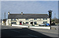
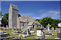
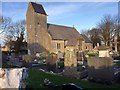
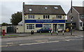
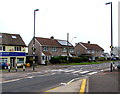
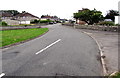
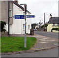
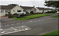
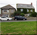
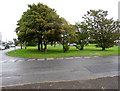
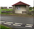
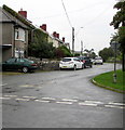
92 photos from this area
Area Information
Key information about the CF71 7QE including its size, population, and administrative classification.
- Area Type
- Postcode
- Area Size
- 2.6 hectares
- Population
- 1681
- Population Density
- 129 people/km²
House Prices in CF71 7QE
20
Properties
£214,279
Average Sold Price
£118,500
Lowest Price
£367,500
Highest Price
Showing 20 properties
| Address | Type | Beds | Baths | Last Sale Price | Last Sale Date | |
|---|---|---|---|---|---|---|
| Bryn Gwyn Cottage, Church Street, Wick, CF71 7QE | house | - | - | £367,500 | Nov 2021 | |
| Llwyn Cerrig, Church Street, Wick, CF71 7QE | house | - | - | £170,000 | Apr 2019 | |
| The Anchorage, Church Street, Wick, CF71 7QE | Semi-detached | 3 | 1 | £249,950 | Nov 2016 | |
| Ty Gwyn, Church Street, Wick, CF71 7QE | house | - | - | £305,000 | Aug 2016 | |
| Primrose Cottage, Church Street, Wick, CF71 7QE | Terraced | - | - | £155,000 | Aug 2004 | |
| Highlands, Church Street, Wick, CF71 7QE | Semi-detached | - | - | £118,500 | Apr 2002 | |
| Shandon, Church Street, Wick, CF71 7QE | Semi-detached | - | - | £134,000 | Jun 2000 | |
| Ardwyn, Church Street, Wick, CF71 7QE | Semi-detached | 3 | 1 | - | - | |
| Flat, Sycamore House, Church Street, Wick, CF71 7QE | Flat | - | - | - | - | |
| Living Accommodation, Lamb And Flag, Church Street, Wick, CF71 7QE | Flat | - | - | - | - |
Page 1 of 2
Energy Efficiency in CF71 7QE
Amenities
Schools
| Rank | School | Type | Entry gender | Ages |
|---|
Explore more schools in this area
Go to Schools tabDemographics
Household Size
Two person
most common
Accommodation Type
Houses
most common
Tenure
84
majority
Ethnic Group
White
most common
Religion
N/A
most common
Household Composition
N/A
most common
Age
47
median
Adults (30-64 years)
most common
Household Deprivation
N/A
with no deprivation
NS-SEC
48
in Lower managerial occupations
Explore more demographic insights in this area
Go to Demographics tabPlanning
Planning Constraints
- Flood RiskPremium
- Ramsar Wetland SitesPremium
- Area of Outstanding Natural BeautyPremium
- Protected Nature ReservePremium
- Protected WoodlandPremium
- Crime RiskPremium