Area Overview for CF71 7AW
Photos of CF71 7AW
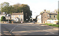
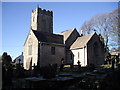
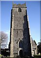
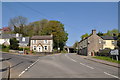
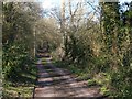
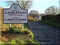
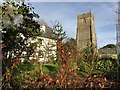
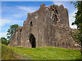
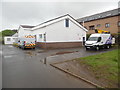

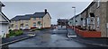
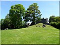
44 photos from this area
Area Information
Key information about the CF71 7AW including its size, population, and administrative classification.
- Area Type
- Postcode
- Area Size
- 6.4 hectares
- Population
- 1699
- Population Density
- 140 people/km²
House Prices in CF71 7AW
13
Properties
£325,000
Average Sold Price
£105,000
Lowest Price
£775,000
Highest Price
Showing 13 properties
| Address | Type | Beds | Baths | Last Sale Price | Last Sale Date | |
|---|---|---|---|---|---|---|
| 5 Bowmans Way, Cowbridge, CF71 7AW | house | - | - | £350,000 | Aug 2019 | |
| Woods Edge, Bowmans Way, Cowbridge, CF71 7AW | Detached | 6 | 3 | £775,000 | Sep 2016 | |
| 4 Bowmans Way, Cowbridge, CF71 7AW | house | 4 | 2 | £280,000 | Mar 2013 | |
| 2 Bowmans Way, Cowbridge, CF71 7AW | Semi-detached | - | - | £300,000 | Jun 2008 | |
| 9 Bowmans Way, Cowbridge, CF71 7AW | Detached | - | - | £330,000 | Jun 2008 | |
| 6 Bowmans Way, Cowbridge, CF71 7AW | Semi-detached | - | - | £105,000 | Jun 1999 | |
| Sherwood House, 12 Bowmans Way, Cowbridge, CF71 7AW | Detached | - | - | £135,000 | Nov 1996 | |
| Hillanvale, 11 Bowmans Way, Cowbridge, CF71 7AW | Detached | 5 | 2 | - | - | |
| 8 Bowmans Way, Cowbridge, CF71 7AW | Detached | - | - | - | - | |
| 3 Bowmans Way, Cowbridge, CF71 7AW | house | - | - | - | - |
Page 1 of 2
Energy Efficiency in CF71 7AW
Amenities
Schools
| Rank | School | Type | Entry gender | Ages |
|---|
Explore more schools in this area
Go to Schools tabDemographics
Household Size
Two person
most common
Accommodation Type
Houses
most common
Tenure
89
majority
Ethnic Group
White
most common
Religion
N/A
most common
Household Composition
N/A
most common
Age
47
median
Adults (30-64 years)
most common
Household Deprivation
N/A
with no deprivation
NS-SEC
54
in Lower managerial occupations
Explore more demographic insights in this area
Go to Demographics tabPlanning
Planning Constraints
- Flood RiskPremium
- Ramsar Wetland SitesPremium
- Area of Outstanding Natural BeautyPremium
- Protected Nature ReservePremium
- Protected WoodlandPremium
- Crime RiskPremium