Area Overview for CF64 5DP
Photos of CF64 5DP
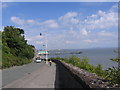
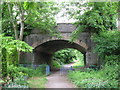
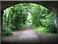
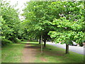
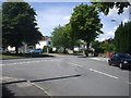
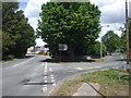
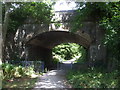
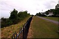
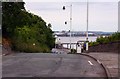
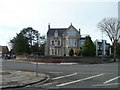
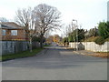
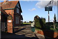
76 photos from this area
Area Information
Key information about the CF64 5DP including its size, population, and administrative classification.
- Area Type
- Postcode
- Area Size
- 1.4 hectares
- Population
- 1572
- Population Density
- 1483 people/km²
House Prices in CF64 5DP
13
Properties
£671,357
Average Sold Price
£125,500
Lowest Price
£1,500,000
Highest Price
Showing 13 properties
| Address | Type | Beds | Baths | Last Sale Price | Last Sale Date | |
|---|---|---|---|---|---|---|
| Le Subri, 25 Forrest Road, Penarth, CF64 5DP | house | - | - | £500,000 | Apr 2025 | |
| 32 Forrest Road, Penarth, CF64 5DP | Detached | 4 | 1 | £895,000 | Sep 2023 | |
| Rostellan, 36 Forrest Road, Penarth, CF64 5DP | house | - | - | £1,055,000 | Mar 2021 | |
| Winton, 40 Forrest Road, Penarth, CF64 5DP | house | - | - | £1,500,000 | Jan 2019 | |
| 19 Forrest Road, Penarth, CF64 5DP | Semi-detached | - | - | £312,000 | Dec 2007 | |
| Melton, 38 Forrest Road, Penarth, CF64 5DP | house | - | - | £312,000 | Apr 2001 | |
| Foxwell Cottage, 21 Forrest Road, Penarth, CF64 5DP | Semi-detached | - | - | £125,500 | Apr 1998 | |
| Dickens, 26 Forrest Road, Penarth, CF64 5DP | house | - | - | - | - | |
| Primrose Cottage, 28 Forrest Road, Penarth, CF64 5DP | Detached | - | - | - | - | |
| Glanymor, 34 Forrest Road, Penarth, CF64 5DP | Detached | - | - | - | - |
Page 1 of 2
Energy Efficiency in CF64 5DP
Amenities
Schools
| Rank | School | Type | Entry gender | Ages |
|---|
Explore more schools in this area
Go to Schools tabDemographics
Household Size
Two person
most common
Accommodation Type
Houses
most common
Tenure
91
majority
Ethnic Group
White
most common
Religion
N/A
most common
Household Composition
N/A
most common
Age
47
median
Adults (30-64 years)
most common
Household Deprivation
N/A
with no deprivation
NS-SEC
56
in Lower managerial occupations
Explore more demographic insights in this area
Go to Demographics tabPlanning
Planning Constraints
- Flood RiskPremium
- Ramsar Wetland SitesPremium
- Area of Outstanding Natural BeautyPremium
- Protected Nature ReservePremium
- Protected WoodlandPremium
- Crime RiskPremium