Area Overview for CF35 5DW
Photos of CF35 5DW
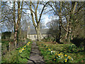
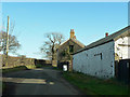
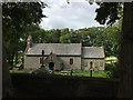
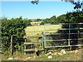
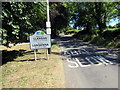
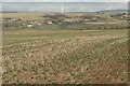
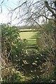
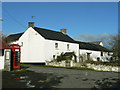
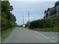
18 photos from this area
Area Information
Key information about the CF35 5DW including its size, population, and administrative classification.
- Area Type
- Postcode
- Area Size
- 1.1 km²
- Population
- 2822
- Population Density
- 67 people/km²
House Prices in CF35 5DW
35
Properties
£514,577
Average Sold Price
£49,500
Lowest Price
£865,000
Highest Price
Showing 35 properties
| Address | Type | Beds | Baths | Last Sale Price | Last Sale Date | |
|---|---|---|---|---|---|---|
| Ashdene, Unnamed Road Through Llangan Village, Llangan, CF35 5DW | house | 4 | 1 | £470,000 | Jul 2024 | |
| Rookery Nook, Unnamed Road Through Llangan Village, Llangan, CF35 5DW | Detached | 5 | 2 | £770,000 | Jul 2024 | |
| Oakfield, Unnamed Road Through Llangan Village, Llangan, CF35 5DW | Bungalow | - | - | £865,000 | Aug 2022 | |
| Pentwyn House, Unnamed Road Through Llangan Village, Llangan, CF35 5DW | Detached | 4 | 2 | £687,500 | Mar 2020 | |
| Ty Garreg, Unnamed Road Through Llangan Village, Llangan, CF35 5DW | Bungalow | - | - | £457,500 | Dec 2017 | |
| Mount Pleasant Farm, Unnamed Road Through Llangan Village, Llangan, CF35 5DW | house | - | - | £475,000 | Nov 2017 | |
| South Rise, Unnamed Road Through Llangan Village, Llangan, CF35 5DW | house | - | - | £562,000 | Sep 2016 | |
| Highfields, Unnamed Road Through Llangan Village, Llangan, CF35 5DW | house | - | - | £390,000 | Jul 2016 | |
| Y Bwthyn, Unnamed Road Through Llangan Village, Llangan, CF35 5DW | Detached | 4 | - | £520,000 | Dec 2015 | |
| Llansdown, Unnamed Road Through Llangan Village, Llangan, CF35 5DW | Detached | 5 | 3 | £460,000 | Oct 2015 |
Page 1 of 4
Energy Efficiency in CF35 5DW
Amenities
Schools
| Rank | School | Type | Entry gender | Ages |
|---|
Explore more schools in this area
Go to Schools tabDemographics
Household Size
Two person
most common
Accommodation Type
Houses
most common
Tenure
88
majority
Ethnic Group
White
most common
Religion
N/A
most common
Household Composition
N/A
most common
Age
47
median
Adults (30-64 years)
most common
Household Deprivation
N/A
with no deprivation
NS-SEC
51
in Lower managerial occupations
Explore more demographic insights in this area
Go to Demographics tabPlanning
Planning Constraints
- Flood RiskPremium
- Ramsar Wetland SitesPremium
- Area of Outstanding Natural BeautyPremium
- Protected Nature ReservePremium
- Protected WoodlandPremium
- Crime RiskPremium