Area Overview for NP44 3FG
Photos of NP44 3FG
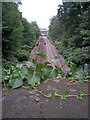
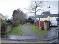
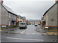

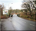
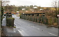
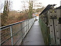
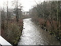
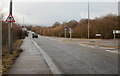

100 photos from this area
Area Information
Key information about the NP44 3FG including its size, population, and administrative classification.
- Area Type
- Postcode
- Area Size
- 1.6 hectares
- Population
- 2652
- Population Density
- 482 people/km²
House Prices in NP44 3FG
63
Properties
£215,598
Average Sold Price
£99,000
Lowest Price
£365,000
Highest Price
Showing 63 properties
| Address | Type | Beds | Baths | Last Sale Price | Last Sale Date | |
|---|---|---|---|---|---|---|
| 102 James Prosser Way, Llantarnam, Cwmbran, NP44 3FG | Detached | 2 | 2 | £220,000 | Jun 2025 | |
| 14 James Prosser Way, Llantarnam, Cwmbran, NP44 3FG | house | - | - | £150,000 | Apr 2025 | |
| 12 James Prosser Way, Llantarnam, Cwmbran, NP44 3FG | house | - | - | £156,000 | Dec 2024 | |
| 88 James Prosser Way, Llantarnam, Cwmbran, NP44 3FG | Semi-detached | 3 | 1 | £260,000 | Aug 2023 | |
| 4 James Prosser Way, Llantarnam, Cwmbran, NP44 3FG | Detached | 3 | 2 | £330,000 | Feb 2023 | |
| 70 James Prosser Way, Llantarnam, Cwmbran, NP44 3FG | house | - | - | £185,000 | Nov 2022 | |
| 24 James Prosser Way, Llantarnam, Cwmbran, NP44 3FG | Retail | 3 | 2 | £310,000 | Apr 2022 | |
| 94 James Prosser Way, Llantarnam, Cwmbran, NP44 3FG | house | - | - | £185,000 | Mar 2022 | |
| 26 James Prosser Way, Llantarnam, Cwmbran, NP44 3FG | house | - | - | £365,000 | Feb 2022 | |
| 106 James Prosser Way, Llantarnam, Cwmbran, NP44 3FG | Detached | 3 | 2 | £250,000 | Apr 2020 |
Page 1 of 7
Energy Efficiency in NP44 3FG
Amenities
Schools
| Rank | School | Type | Entry gender | Ages |
|---|
Explore more schools in this area
Go to Schools tabDemographics
Household Size
Two person
most common
Accommodation Type
Houses
most common
Tenure
79
majority
Ethnic Group
White
most common
Religion
N/A
most common
Household Composition
N/A
most common
Age
47
median
Adults (30-64 years)
most common
Household Deprivation
N/A
with no deprivation
NS-SEC
43
in Lower managerial occupations
Explore more demographic insights in this area
Go to Demographics tabPlanning
Planning Constraints
- Flood RiskPremium
- Ramsar Wetland SitesPremium
- Area of Outstanding Natural BeautyPremium
- Protected Nature ReservePremium
- Protected WoodlandPremium
- Crime RiskPremium