Area Overview for NP44 2ND
Photos of NP44 2ND

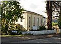
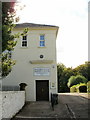
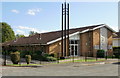
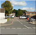
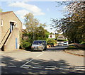
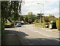
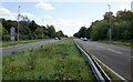
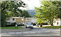
100 photos from this area
Area Information
Key information about the NP44 2ND including its size, population, and administrative classification.
- Area Type
- Postcode
- Area Size
- 1.9 hectares
- Population
- 1544
- Population Density
- 2103 people/km²
House Prices in NP44 2ND
21
Properties
£244,906
Average Sold Price
£100,000
Lowest Price
£375,000
Highest Price
Showing 21 properties
| Address | Type | Beds | Baths | Last Sale Price | Last Sale Date | |
|---|---|---|---|---|---|---|
| 9 Chapel Lane, Croesyceiliog, Cwmbran, NP44 2ND | Detached | 4 | 1 | £350,000 | Jun 2025 | |
| 13 Chapel Lane, Croesyceiliog, Cwmbran, NP44 2ND | Bungalow | 4 | 2 | £272,250 | May 2021 | |
| Pondarosa, 19 Chapel Lane, Croesyceiliog, Cwmbran, NP44 2ND | Detached | 3 | - | £375,000 | Oct 2020 | |
| 11 Chapel Lane, Croesyceiliog, Cwmbran, NP44 2ND | Detached | 3 | 2 | £315,000 | Jan 2017 | |
| Wynvor, 10 Chapel Lane, Croesyceiliog, Cwmbran, NP44 2ND | Bungalow | 2 | - | £237,000 | Nov 2016 | |
| 5 Chapel Lane, Croesyceiliog, Cwmbran, NP44 2ND | Detached | 3 | 2 | £195,000 | Mar 2015 | |
| Brynteg, 4 Chapel Lane, Croesyceiliog, Cwmbran, NP44 2ND | Detached | - | - | £100,000 | Jul 2001 | |
| Trentinara, 8 Chapel Lane, Croesyceiliog, Cwmbran, NP44 2ND | Bungalow | - | - | £115,000 | Jul 1999 | |
| Le Pequelet, 12 Chapel Lane, Croesyceiliog, Cwmbran, NP44 2ND | Detached | 4 | 2 | - | - | |
| Cheriton, 3 Chapel Lane, Croesyceiliog, Cwmbran, NP44 2ND | Detached | 4 | 2 | - | - |
Page 1 of 3
Energy Efficiency in NP44 2ND
Amenities
Schools
| Rank | School | Type | Entry gender | Ages |
|---|
Explore more schools in this area
Go to Schools tabDemographics
Household Size
Two person
most common
Accommodation Type
Houses
most common
Tenure
80
majority
Ethnic Group
White
most common
Religion
N/A
most common
Household Composition
N/A
most common
Age
47
median
Adults (30-64 years)
most common
Household Deprivation
N/A
with no deprivation
NS-SEC
35
in Lower managerial occupations
Explore more demographic insights in this area
Go to Demographics tabPlanning
Planning Constraints
- Flood RiskPremium
- Ramsar Wetland SitesPremium
- Area of Outstanding Natural BeautyPremium
- Protected Nature ReservePremium
- Protected WoodlandPremium
- Crime RiskPremium