Area Overview for NP44 1DD
Photos of NP44 1DD
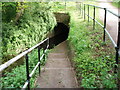

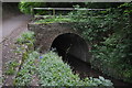
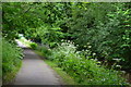
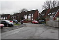
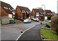
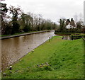
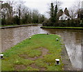
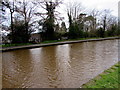
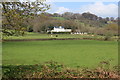
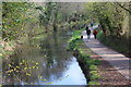
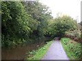
56 photos from this area
Area Information
Key information about the NP44 1DD including its size, population, and administrative classification.
- Area Type
- Postcode
- Area Size
- 3.3 hectares
- Population
- 1169
- Population Density
- 315 people/km²
House Prices in NP44 1DD
34
Properties
£154,609
Average Sold Price
£21,000
Lowest Price
£303,000
Highest Price
Showing 34 properties
| Address | Type | Beds | Baths | Last Sale Price | Last Sale Date | |
|---|---|---|---|---|---|---|
| 59 Five Locks Close, Pontnewydd, Cwmbran, NP44 1DD | Detached | 3 | 1 | £260,000 | Apr 2025 | |
| 58 Five Locks Close, Pontnewydd, Cwmbran, NP44 1DD | Detached | 4 | 2 | £303,000 | Jan 2025 | |
| 66 Five Locks Close, Pontnewydd, Cwmbran, NP44 1DD | Bungalow | 3 | 1 | £225,000 | Feb 2024 | |
| 61 Five Locks Close, Pontnewydd, Cwmbran, NP44 1DD | Detached | 3 | 1 | £264,000 | Apr 2023 | |
| 60 Five Locks Close, Pontnewydd, Cwmbran, NP44 1DD | house | - | - | £290,000 | Sep 2021 | |
| 49 Five Locks Close, Pontnewydd, Cwmbran, NP44 1DD | Detached | 5 | 2 | £252,500 | Aug 2019 | |
| Wishing Well, 71 Five Locks Close, Pontnewydd, Cwmbran, NP44 1DD | Semi-detached | 3 | 1 | £160,000 | Aug 2017 | |
| 63 Five Locks Close, Pontnewydd, Cwmbran, NP44 1DD | Bungalow | - | - | £135,000 | Nov 2015 | |
| 79 Five Locks Close, Pontnewydd, Cwmbran, NP44 1DD | Terraced | - | - | £105,000 | May 2013 | |
| 70 Five Locks Close, Pontnewydd, Cwmbran, NP44 1DD | house | - | - | £120,000 | Feb 2012 |
Page 1 of 4
Energy Efficiency in NP44 1DD
Amenities
Schools
| Rank | School | Type | Entry gender | Ages |
|---|
Explore more schools in this area
Go to Schools tabDemographics
Household Size
Two person
most common
Accommodation Type
Houses
most common
Tenure
83
majority
Ethnic Group
White
most common
Religion
N/A
most common
Household Composition
N/A
most common
Age
47
median
Adults (30-64 years)
most common
Household Deprivation
N/A
with no deprivation
NS-SEC
35
in Lower managerial occupations
Explore more demographic insights in this area
Go to Demographics tabPlanning
Planning Constraints
- Flood RiskPremium
- Ramsar Wetland SitesPremium
- Area of Outstanding Natural BeautyPremium
- Protected Nature ReservePremium
- Protected WoodlandPremium
- Crime RiskPremium