Area Overview for NP4 9NF
Photos of NP4 9NF
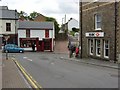
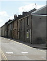
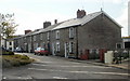
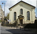
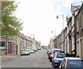
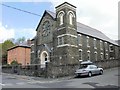
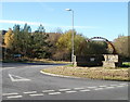
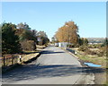
100 photos from this area
Area Information
Key information about the NP4 9NF including its size, population, and administrative classification.
- Area Type
- Postcode
- Area Size
- 3422 m²
- Population
- 1434
- Population Density
- 132 people/km²
House Prices in NP4 9NF
16
Properties
£40,000
Average Sold Price
£5,000
Lowest Price
£75,000
Highest Price
Showing 16 properties
| Address | Type | Beds | Baths | Last Sale Price | Last Sale Date | |
|---|---|---|---|---|---|---|
| 32A Broad Street, Blaenavon, NP4 9NF | Flat | 3 | 1 | £75,000 | Oct 2003 | |
| 29 Broad Street, Blaenavon, NP4 9NF | house | - | - | £5,000 | Apr 2000 | |
| Flat, 31 Broad Street, Blaenavon, NP4 9NF | Flat | 1 | - | - | - | |
| 38A Broad Street, Blaenavon, NP4 9NF | Flat | - | - | - | - | |
| Davies Newsagents, 31 Broad Street, Blaenavon, NP4 9NF | shop | - | - | - | - | |
| 39A Broad Street, Blaenavon, NP4 9NF | Flat | - | - | - | - | |
| 39 Broad Street, Blaenavon, NP4 9NF | retail_financial | - | - | - | - | |
| 37A Broad Street, Blaenavon, NP4 9NF | Flat | - | - | - | - | |
| 36A Broad Street, Blaenavon, NP4 9NF | Flat | - | - | - | - | |
| 73B Broad Street, Blaenavon, NP4 9NF | Flat | - | - | - | - |
Page 1 of 2
Energy Efficiency in NP4 9NF
Amenities
Schools
| Rank | School | Type | Entry gender | Ages |
|---|
Explore more schools in this area
Go to Schools tabDemographics
Household Size
One person
most common
Accommodation Type
Houses
most common
Tenure
54
majority
Ethnic Group
White
most common
Religion
N/A
most common
Household Composition
N/A
most common
Age
47
median
Adults (30-64 years)
most common
Household Deprivation
N/A
with no deprivation
NS-SEC
21
in Lower managerial occupations
Explore more demographic insights in this area
Go to Demographics tabPlanning
Planning Constraints
- Flood RiskPremium
- Ramsar Wetland SitesPremium
- Area of Outstanding Natural BeautyPremium
- Protected Nature ReservePremium
- Protected WoodlandPremium
- Crime RiskPremium