Area Overview for NP4 8LE
Photos of NP4 8LE
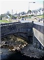
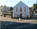
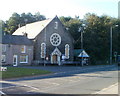
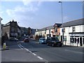
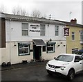
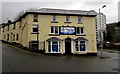
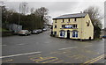
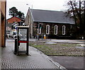
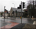
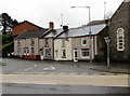
100 photos from this area
Area Information
Key information about the NP4 8LE including its size, population, and administrative classification.
- Area Type
- Postcode
- Area Size
- 6.6 hectares
- Population
- 1673
- Population Density
- 642 people/km²
House Prices in NP4 8LE
13
Properties
£149,744
Average Sold Price
£48,500
Lowest Price
£264,950
Highest Price
Showing 13 properties
| Address | Type | Beds | Baths | Last Sale Price | Last Sale Date | |
|---|---|---|---|---|---|---|
| Fernleigh, Hospital Road, Pontnewynydd, Pontypool, NP4 8LE | Bungalow | 2 | 1 | £195,000 | Jul 2024 | |
| Coniston, Hospital Road, Pontnewynydd, Pontypool, NP4 8LE | Bungalow | 4 | - | £264,950 | Mar 2023 | |
| Theydon, Hospital Road, Pontnewynydd, Pontypool, NP4 8LE | house | - | - | £250,000 | Sep 2021 | |
| Rosslea, Hospital Road, Pontnewynydd, Pontypool, NP4 8LE | Bungalow | 3 | - | £133,000 | Oct 2017 | |
| Nythfa, Hospital Road, Pontnewynydd, Pontypool, NP4 8LE | Bungalow | - | - | £139,400 | Apr 2010 | |
| Briarlea, Hospital Road, Pontnewynydd, Pontypool, NP4 8LE | Semi-detached | - | - | £87,100 | Dec 2003 | |
| Avalon, Hospital Road, Pontnewynydd, Pontypool, NP4 8LE | Semi-detached | - | - | £80,000 | Nov 2002 | |
| Avondale, Hospital Road, Pontnewynydd, Pontypool, NP4 8LE | Bungalow | - | - | £48,500 | Nov 1996 | |
| Suncliffe, Hospital Road, Pontnewynydd, Pontypool, NP4 8LE | Bungalow | 3 | 1 | - | - | |
| Trevellyn, Hospital Road, Pontnewynydd, Pontypool, NP4 8LE | Detached | 2 | 1 | - | - |
Page 1 of 2
Energy Efficiency in NP4 8LE
Amenities
Schools
| Rank | School | Type | Entry gender | Ages |
|---|
Explore more schools in this area
Go to Schools tabDemographics
Household Size
Two person
most common
Accommodation Type
Houses
most common
Tenure
59
majority
Ethnic Group
White
most common
Religion
N/A
most common
Household Composition
N/A
most common
Age
47
median
Adults (30-64 years)
most common
Household Deprivation
N/A
with no deprivation
NS-SEC
20
in Lower managerial occupations
Explore more demographic insights in this area
Go to Demographics tabPlanning
Planning Constraints
- Flood RiskPremium
- Ramsar Wetland SitesPremium
- Area of Outstanding Natural BeautyPremium
- Protected Nature ReservePremium
- Protected WoodlandPremium
- Crime RiskPremium