Area Overview for NP4 7PA
Photos of NP4 7PA
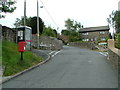
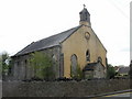

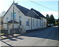
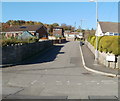
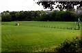
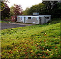
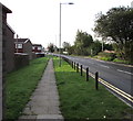
100 photos from this area
Area Information
Key information about the NP4 7PA including its size, population, and administrative classification.
- Area Type
- Postcode
- Area Size
- 4.0 hectares
- Population
- 1631
- Population Density
- 1014 people/km²
House Prices in NP4 7PA
28
Properties
£161,197
Average Sold Price
£38,000
Lowest Price
£410,000
Highest Price
Showing 28 properties
| Address | Type | Beds | Baths | Last Sale Price | Last Sale Date | |
|---|---|---|---|---|---|---|
| Pinewood, Viaduct Road, Garndiffaith, Pontypool, NP4 7PA | Detached | 5 | 1 | £410,000 | Mar 2025 | |
| Sunnycroft, Viaduct Road, Garndiffaith, Pontypool, NP4 7PA | Bungalow | 3 | 1 | £250,000 | Apr 2024 | |
| Glandawe, Viaduct Road, Garndiffaith, Pontypool, NP4 7PA | Terraced | 2 | 2 | £182,000 | Apr 2024 | |
| Comilla, Viaduct Road, Garndiffaith, Pontypool, NP4 7PA | Bungalow | 2 | 1 | £250,000 | Apr 2023 | |
| Blenheim, Viaduct Road, Garndiffaith, Pontypool, NP4 7PA | Detached | 3 | 1 | £250,000 | Oct 2018 | |
| Walnut Tree Cottage, Viaduct Road, Garndiffaith, Pontypool, NP4 7PA | house | - | - | £150,000 | Feb 2013 | |
| Rose Cottage, Viaduct Road, Garndiffaith, Pontypool, NP4 7PA | house | 3 | - | £145,000 | Jun 2011 | |
| Rockville, Viaduct Road, Garndiffaith, Pontypool, NP4 7PA | Land | - | - | £82,000 | Feb 2011 | |
| Gwenallt Cottage, Viaduct Road, Garndiffaith, Pontypool, NP4 7PA | Terraced | 3 | - | £142,000 | Aug 2006 | |
| Glan-yr-dwr, Viaduct Road, Garndiffaith, Pontypool, NP4 7PA | Detached | 4 | 1 | £91,000 | Jun 2006 |
Page 1 of 3
Energy Efficiency in NP4 7PA
Amenities
Schools
| Rank | School | Type | Entry gender | Ages |
|---|
Explore more schools in this area
Go to Schools tabDemographics
Household Size
Two person
most common
Accommodation Type
Houses
most common
Tenure
83
majority
Ethnic Group
White
most common
Religion
N/A
most common
Household Composition
N/A
most common
Age
47
median
Adults (30-64 years)
most common
Household Deprivation
N/A
with no deprivation
NS-SEC
30
in Lower managerial occupations
Explore more demographic insights in this area
Go to Demographics tabPlanning
Planning Constraints
- Flood RiskPremium
- Ramsar Wetland SitesPremium
- Area of Outstanding Natural BeautyPremium
- Protected Nature ReservePremium
- Protected WoodlandPremium
- Crime RiskPremium