Area Overview for NP4 5YL
Photos of NP4 5YL
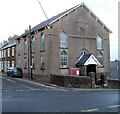
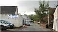
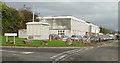
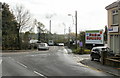
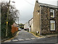
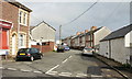
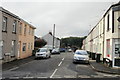
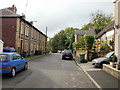
100 photos from this area
Area Information
Key information about the NP4 5YL including its size, population, and administrative classification.
- Area Type
- Postcode
- Area Size
- 3.9 hectares
- Population
- 2441
- Population Density
- 2493 people/km²
House Prices in NP4 5YL
45
Properties
£200,861
Average Sold Price
£140,000
Lowest Price
£325,000
Highest Price
Showing 45 properties
| Address | Type | Beds | Baths | Last Sale Price | Last Sale Date | |
|---|---|---|---|---|---|---|
| 153 Parc Panteg, Griffithstown, Pontypool, NP4 5YL | Semi-detached | 2 | 1 | £205,000 | Oct 2025 | |
| 133 Parc Panteg, Griffithstown, Pontypool, NP4 5YL | Detached | 4 | 2 | £325,000 | Jun 2025 | |
| 120 Parc Panteg, Griffithstown, Pontypool, NP4 5YL | Semi-detached | 4 | 2 | £300,000 | Mar 2025 | |
| 141 Parc Panteg, Griffithstown, Pontypool, NP4 5YL | Terraced | 3 | 2 | £220,000 | Mar 2023 | |
| 129 Parc Panteg, Griffithstown, Pontypool, NP4 5YL | Semi-detached | 3 | 2 | £190,000 | Jul 2021 | |
| 142 Parc Panteg, Griffithstown, Pontypool, NP4 5YL | Terraced | 3 | - | £184,000 | Feb 2021 | |
| 134 Parc Panteg, Griffithstown, Pontypool, NP4 5YL | house | - | - | £300,000 | Sep 2020 | |
| 148 Parc Panteg, Griffithstown, Pontypool, NP4 5YL | Terraced | 2 | 1 | £150,000 | Dec 2019 | |
| 137 Parc Panteg, Griffithstown, Pontypool, NP4 5YL | Semi-detached | 3 | - | £175,000 | Oct 2019 | |
| 132 Parc Panteg, Griffithstown, Pontypool, NP4 5YL | Detached | 4 | 2 | £275,000 | Jun 2019 |
Page 1 of 5
Energy Efficiency in NP4 5YL
Amenities
Schools
| Rank | School | Type | Entry gender | Ages |
|---|
Explore more schools in this area
Go to Schools tabDemographics
Household Size
Family (3-5 people)
most common
Accommodation Type
Houses
most common
Tenure
80
majority
Ethnic Group
White
most common
Religion
N/A
most common
Household Composition
N/A
most common
Age
47
median
Adults (30-64 years)
most common
Household Deprivation
N/A
with no deprivation
NS-SEC
37
in Lower managerial occupations
Explore more demographic insights in this area
Go to Demographics tabPlanning
Planning Constraints
- Flood RiskPremium
- Ramsar Wetland SitesPremium
- Area of Outstanding Natural BeautyPremium
- Protected Nature ReservePremium
- Protected WoodlandPremium
- Crime RiskPremium