Area Overview for NP4 5BA
Photos of NP4 5BA
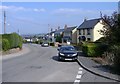
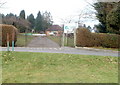
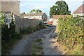
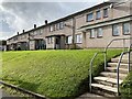
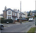
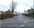
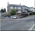
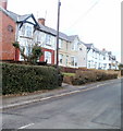
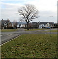
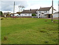
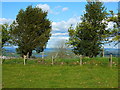
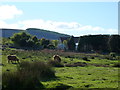
50 photos from this area
Area Information
Key information about the NP4 5BA including its size, population, and administrative classification.
- Area Type
- Postcode
- Area Size
- 9059 m²
- Population
- 1132
- Population Density
- 2817 people/km²
House Prices in NP4 5BA
19
Properties
£204,288
Average Sold Price
£94,000
Lowest Price
£287,500
Highest Price
Showing 19 properties
| Address | Type | Beds | Baths | Last Sale Price | Last Sale Date | |
|---|---|---|---|---|---|---|
| 20 Greenway Close, Griffithstown, Pontypool, NP4 5BA | Detached | 3 | 1 | £287,500 | May 2024 | |
| 3 Greenway Close, Griffithstown, Pontypool, NP4 5BA | Bungalow | - | - | £240,000 | Oct 2021 | |
| 15 Greenway Close, Griffithstown, Pontypool, NP4 5BA | Bungalow | - | - | £160,000 | Apr 2021 | |
| 11 Greenway Close, Griffithstown, Pontypool, NP4 5BA | Detached | 3 | 2 | £230,000 | Feb 2020 | |
| 16 Greenway Close, Griffithstown, Pontypool, NP4 5BA | Detached | 5 | - | £219,000 | Jan 2017 | |
| 9 Greenway Close, Griffithstown, Pontypool, NP4 5BA | house | - | - | £215,000 | Jun 2016 | |
| 8 Greenway Close, Griffithstown, Pontypool, NP4 5BA | Detached | 4 | - | £203,000 | Dec 2015 | |
| 13 Greenway Close, Griffithstown, Pontypool, NP4 5BA | Detached | - | - | £212,500 | Nov 2008 | |
| 6 Greenway Close, Griffithstown, Pontypool, NP4 5BA | Detached | - | - | £247,950 | Nov 2007 | |
| 12 Greenway Close, Griffithstown, Pontypool, NP4 5BA | Detached | - | - | £222,500 | May 2006 |
Page 1 of 2
Energy Efficiency in NP4 5BA
Amenities
Schools
| Rank | School | Type | Entry gender | Ages |
|---|
Explore more schools in this area
Go to Schools tabDemographics
Household Size
Two person
most common
Accommodation Type
Houses
most common
Tenure
87
majority
Ethnic Group
White
most common
Religion
N/A
most common
Household Composition
N/A
most common
Age
47
median
Adults (30-64 years)
most common
Household Deprivation
N/A
with no deprivation
NS-SEC
36
in Lower managerial occupations
Explore more demographic insights in this area
Go to Demographics tabPlanning
Planning Constraints
- Flood RiskPremium
- Ramsar Wetland SitesPremium
- Area of Outstanding Natural BeautyPremium
- Protected Nature ReservePremium
- Protected WoodlandPremium
- Crime RiskPremium