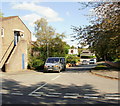
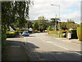
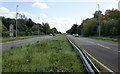
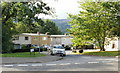
Area Overview for Croesyceiliog Community
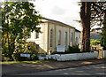
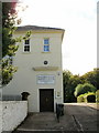
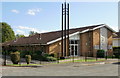
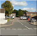
Photos of Croesyceiliog Community

Area Information
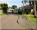
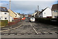
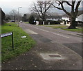
Croesyceiliog sits within the boundaries of Cwmbran, the third largest town in Wales by population, serving as a distinct residential district for approximately 8,300 residents when including the neighbouring area of Llanyrafon. The community covers an area of just 2.3 km², creating a compact neighbourhood where daily life centres around established local facilities and green spaces. The name derives from the Welsh for 'Cockerel's cross', reflecting its deep roots in South Wales history as part of Cwmbran New Town, which was formally designated in 1949. Most of the housing stock was constructed during the 1950s and 1960s, though the area also contains Victorian terraces and older Welsh cottages. This mix of periods offers a variety of architectural styles within a deliberately planned environment designed to provide quality housing and community amenities. You will find the area is anchored by significant landmarks such as Croesyceiliog Comprehensive School and Woodland Road Park, providing immediate access to education and recreation without needing to travel far. The proximity to the former Gwent County Hall site, now demolished, and its coordinates placing it centrally within the wider town plan, highlight its role as a stable, suburban anchor for Torfaen County Borough Council. Living in Croesyceiliog means enjoying a structured neighbourhood with a clear sense of place and purpose.
- Area Type
- Parish
- Area Size
- 2.3 km²
- Population
- Not available
- Population Density
- Not available
Demographics
The demographic profile of Croesyceiliog shows a mature settlement with a median age of 70 years, indicating that the population skews significantly towards older residents compared to the national average. This age distribution suggests the community acts as a retirement location rather than a family hub with young children. Home ownership stands at a substantial 70 per cent, meaning the vast majority of properties are owner-occupied rather than rented. This high level of ownership typically correlates with stability and lower temporary resident turnover. The data notes that while specific breakdowns for household composition, predominant ethnic groups, religious affiliation, and detailed accommodation types are not provided in the current statistics, the overall picture emphasises an established, settled community. The median age of 70 is the most significant demographic indicator available, shaping the social vibe towards older age groups. There is no indication of a young professional influx or student population in the accessible data. The area functions as a place where people stay long-term, likely due to the available holiday housing or the specific draw of the location for retirees. With 70 per cent of homes owned, you are entering a market of vested residents.
Household Size
Accommodation Type
Tenure
Ethnic Group
Religion
Household Composition
Age
Household Deprivation
NS-SEC
Explore more demographic insights in this area
Go to Demographics tabPlanning
Planning Constraints
- Flood RiskPremium
- Ramsar Wetland SitesPremium
- Area of Outstanding Natural BeautyPremium
- Protected Nature ReservePremium
- Protected WoodlandPremium
- Crime RiskPremium