Area Overview for SA5 9PD
Photos of SA5 9PD
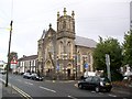
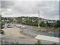
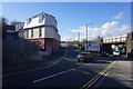
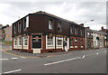

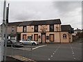
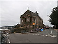
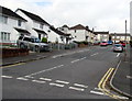
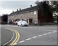
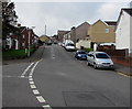
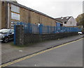
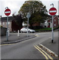
99 photos from this area
Area Information
Key information about the SA5 9PD including its size, population, and administrative classification.
- Area Type
- Postcode
- Area Size
- 6689 m²
- Population
- 1496
- Population Density
- 4941 people/km²
House Prices in SA5 9PD
31
Properties
£119,473
Average Sold Price
£33,500
Lowest Price
£210,000
Highest Price
Showing 31 properties
| Address | Type | Beds | Baths | Last Sale Price | Last Sale Date | |
|---|---|---|---|---|---|---|
| 53 Manor Road, Manselton, Swansea, SA5 9PD | Terraced | 3 | 1 | £210,000 | Sep 2025 | |
| 49 Manor Road, Manselton, Swansea, SA5 9PD | Terraced | 3 | 2 | £200,000 | Feb 2025 | |
| 69 Manor Road, Manselton, Swansea, SA5 9PD | house | 4 | 2 | £210,000 | Oct 2024 | |
| 67 Manor Road, Manselton, Swansea, SA5 9PD | Terraced | 3 | 1 | £105,000 | Jan 2024 | |
| 51 Manor Road, Manselton, Swansea, SA5 9PD | house | 3 | 2 | £203,000 | Jul 2022 | |
| 62 Manor Road, Manselton, Swansea, SA5 9PD | house | - | - | £145,000 | Dec 2021 | |
| 64 Manor Road, Manselton, Swansea, SA5 9PD | house | - | - | £160,000 | Nov 2021 | |
| 52 Manor Road, Manselton, Swansea, SA5 9PD | Terraced | 3 | 1 | £91,000 | Sep 2019 | |
| 55 Manor Road, Manselton, Swansea, SA5 9PD | Terraced | 3 | 2 | £145,000 | Sep 2018 | |
| 44 Manor Road, Manselton, Swansea, SA5 9PD | Terraced | 2 | 1 | £78,000 | Jul 2017 |
Page 1 of 4
Energy Efficiency in SA5 9PD
Amenities
Schools
| Rank | School | Type | Entry gender | Ages |
|---|
Explore more schools in this area
Go to Schools tabDemographics
Household Size
Family (3-5 people)
most common
Accommodation Type
Houses
most common
Tenure
77
majority
Ethnic Group
White
most common
Religion
N/A
most common
Household Composition
N/A
most common
Age
47
median
Adults (30-64 years)
most common
Household Deprivation
N/A
with no deprivation
NS-SEC
26
in Lower managerial occupations
Explore more demographic insights in this area
Go to Demographics tabPlanning
Planning Constraints
- Flood RiskPremium
- Ramsar Wetland SitesPremium
- Area of Outstanding Natural BeautyPremium
- Protected Nature ReservePremium
- Protected WoodlandPremium
- Crime RiskPremium