Area Overview for SA5 4AF
Photos of SA5 4AF
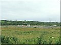
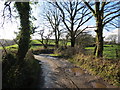
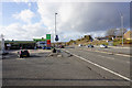
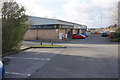
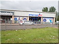
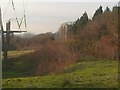
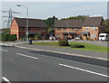

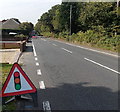
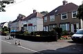
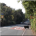
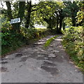
17 photos from this area
Area Information
Key information about the SA5 4AF including its size, population, and administrative classification.
- Area Type
- Postcode
- Area Size
- 2.3 hectares
- Population
- 1434
- Population Density
- 1422 people/km²
House Prices in SA5 4AF
11
Properties
£111,071
Average Sold Price
£21,500
Lowest Price
£280,000
Highest Price
Showing 11 properties
| Address | Type | Beds | Baths | Last Sale Price | Last Sale Date | |
|---|---|---|---|---|---|---|
| 1030 Carmarthen Road, Fforestfach, Swansea, SA5 4AF | Terraced | 2 | 1 | £87,000 | Jun 2021 | |
| 1034 Carmarthen Road, Fforestfach, Swansea, SA5 4AF | house | 3 | 2 | £83,000 | May 2021 | |
| 1026 Carmarthen Road, Fforestfach, Swansea, SA5 4AF | Terraced | 2 | 1 | £104,000 | Mar 2021 | |
| 1021 Carmarthen Road, Fforestfach, Swansea, SA5 4AF | Detached | 3 | 2 | £158,000 | Aug 2020 | |
| 1020 Carmarthen Road, Fforestfach, Swansea, SA5 4AF | Terraced | 3 | 1 | £280,000 | Apr 2014 | |
| 1028 Carmarthen Road, Fforestfach, Swansea, SA5 4AF | house | - | - | £44,000 | Mar 2009 | |
| 1032 Carmarthen Road, Fforestfach, Swansea, SA5 4AF | Terraced | - | - | £21,500 | Dec 1999 | |
| 1038 Carmarthen Road, Fforestfach, Swansea, SA5 4AF | Terraced | 3 | 1 | - | - | |
| 1036 Carmarthen Road, Fforestfach, Swansea, SA5 4AF | Terraced | 3 | 1 | - | - | |
| 1040 Carmarthen Road, Fforestfach, Swansea, SA5 4AF | Terraced | - | - | - | - |
Page 1 of 2
Energy Efficiency in SA5 4AF
Amenities
Schools
| Rank | School | Type | Entry gender | Ages |
|---|
Explore more schools in this area
Go to Schools tabDemographics
Household Size
One person
most common
Accommodation Type
Houses
most common
Tenure
67
majority
Ethnic Group
White
most common
Religion
N/A
most common
Household Composition
N/A
most common
Age
47
median
Adults (30-64 years)
most common
Household Deprivation
N/A
with no deprivation
NS-SEC
28
in Lower managerial occupations
Explore more demographic insights in this area
Go to Demographics tabPlanning
Planning Constraints
- Flood RiskPremium
- Ramsar Wetland SitesPremium
- Area of Outstanding Natural BeautyPremium
- Protected Nature ReservePremium
- Protected WoodlandPremium
- Crime RiskPremium