Area Overview for SA4 3LE
Photos of SA4 3LE
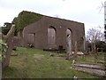
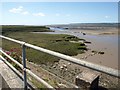
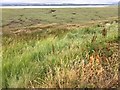
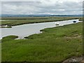
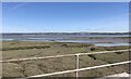
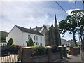
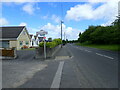
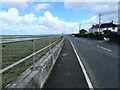
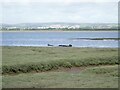
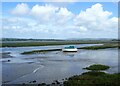
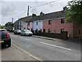
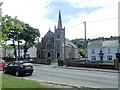
17 photos from this area
Area Information
Key information about the SA4 3LE including its size, population, and administrative classification.
- Area Type
- Postcode
- Area Size
- 4.3 hectares
- Population
- 1922
- Population Density
- 583 people/km²
House Prices in SA4 3LE
13
Properties
£233,583
Average Sold Price
£92,500
Lowest Price
£405,000
Highest Price
Showing 13 properties
| Address | Type | Beds | Baths | Last Sale Price | Last Sale Date | |
|---|---|---|---|---|---|---|
| The Parc, Park Road, Penclawdd, Swansea, SA4 3LE | Detached | 4 | 1 | £405,000 | Jul 2020 | |
| Pantycelyn, Park Road, Penclawdd, Swansea, SA4 3LE | Detached | 4 | 1 | £259,000 | Nov 2018 | |
| Garddfach, Park Road, Penclawdd, Swansea, SA4 3LE | Detached | 3 | 1 | £215,000 | Mar 2016 | |
| Nant-y-berllan, Park Road, Penclawdd, Swansea, SA4 3LE | Detached | 4 | 2 | £155,000 | Jan 2015 | |
| Park View, Trinity Lane, Penclawdd, Swansea, SA4 3LE | house | - | - | £275,000 | Sep 2014 | |
| Nantlais, Park Road, Penclawdd, Swansea, SA4 3LE | Detached | - | - | £92,500 | May 2002 | |
| Perllanfa, Park Road, Penclawdd, Swansea, SA4 3LE | Detached | - | - | - | - | |
| Drocherty, Park Road, Penclawdd, Swansea, SA4 3LE | Detached | - | - | - | - | |
| The Coppins, Park Road, Penclawdd, Swansea, SA4 3LE | Detached | - | - | - | - | |
| Shelbourne, Park Road, Penclawdd, Swansea, SA4 3LE | Detached | - | - | - | - |
Page 1 of 2
Energy Efficiency in SA4 3LE
Amenities
Schools
| Rank | School | Type | Entry gender | Ages |
|---|
Explore more schools in this area
Go to Schools tabDemographics
Household Size
Two person
most common
Accommodation Type
Houses
most common
Tenure
74
majority
Ethnic Group
White
most common
Religion
N/A
most common
Household Composition
N/A
most common
Age
47
median
Adults (30-64 years)
most common
Household Deprivation
N/A
with no deprivation
NS-SEC
32
in Lower managerial occupations
Explore more demographic insights in this area
Go to Demographics tabPlanning
Planning Constraints
- Flood RiskPremium
- Ramsar Wetland SitesPremium
- Area of Outstanding Natural BeautyPremium
- Protected Nature ReservePremium
- Protected WoodlandPremium
- Crime RiskPremium