Area Overview for SA3 3AQ
Photos of SA3 3AQ
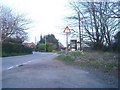
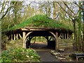
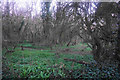
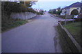
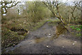
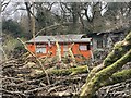
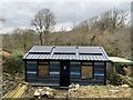
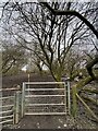
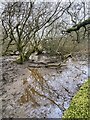
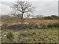
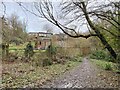
24 photos from this area
Area Information
Key information about the SA3 3AQ including its size, population, and administrative classification.
- Area Type
- Postcode
- Area Size
- 17.7 hectares
- Population
- 1474
- Population Density
- 476 people/km²
House Prices in SA3 3AQ
26
Properties
£157,500
Average Sold Price
£120,000
Lowest Price
£295,000
Highest Price
Showing 26 properties
| Address | Type | Beds | Baths | Last Sale Price | Last Sale Date | |
|---|---|---|---|---|---|---|
| 29 Holts Field, Murton, Swansea, SA3 3AQ | Bungalow | - | - | £295,000 | Apr 2025 | |
| 3 Holts Field, Murton, Swansea, SA3 3AQ | Bungalow | - | - | £140,000 | Jul 2015 | |
| 12 Holts Field, Murton, Swansea, SA3 3AQ | Bungalow | - | - | £120,000 | May 2013 | |
| 18 Holts Field, Murton, Swansea, SA3 3AQ | Bungalow | - | - | £120,000 | Jul 2011 | |
| 22 Holts Field, Murton, Swansea, SA3 3AQ | Bungalow | - | - | £145,000 | Oct 2008 | |
| 20 Holts Field, Murton, Swansea, SA3 3AQ | Bungalow | - | - | £125,000 | Jun 2008 | |
| 7 Holts Field, Murton, Swansea, SA3 3AQ | Bungalow | - | - | - | - | |
| 30 Holts Field, Murton, Swansea, SA3 3AQ | Bungalow | - | - | - | - | |
| 2A Holts Field, Murton, Swansea, SA3 3AQ | Detached | - | - | - | - | |
| 26 Holts Field, Murton, Swansea, SA3 3AQ | Bungalow | - | - | - | - |
Page 1 of 3
Energy Efficiency in SA3 3AQ
Amenities
Schools
| Rank | School | Type | Entry gender | Ages |
|---|
Explore more schools in this area
Go to Schools tabDemographics
Household Size
Two person
most common
Accommodation Type
Houses
most common
Tenure
83
majority
Ethnic Group
White
most common
Religion
N/A
most common
Household Composition
N/A
most common
Age
47
median
Adults (30-64 years)
most common
Household Deprivation
N/A
with no deprivation
NS-SEC
45
in Lower managerial occupations
Explore more demographic insights in this area
Go to Demographics tabPlanning
Planning Constraints
- Flood RiskPremium
- Ramsar Wetland SitesPremium
- Area of Outstanding Natural BeautyPremium
- Protected Nature ReservePremium
- Protected WoodlandPremium
- Crime RiskPremium