Area Overview for SA3 1DE
Photos of SA3 1DE
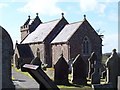
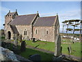
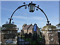
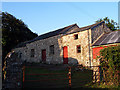

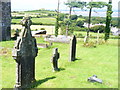
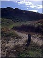
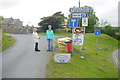
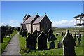
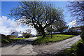
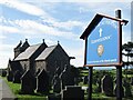
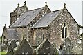
55 photos from this area
Area Information
Key information about the SA3 1DE including its size, population, and administrative classification.
- Area Type
- Postcode
- Area Size
- 2.6 km²
- Population
- 1773
- Population Density
- 29 people/km²
House Prices in SA3 1DE
72
Properties
£360,618
Average Sold Price
£78,000
Lowest Price
£800,000
Highest Price
Showing 72 properties
| Address | Type | Beds | Baths | Last Sale Price | Last Sale Date | |
|---|---|---|---|---|---|---|
| The Retreat, Unclassified Section Y 2300, Llanmadoc, Swansea, SA3 1DE | Bungalow | 3 | 2 | £500,000 | Jul 2025 | |
| Upper Church Barn, Unclassified Section Y 2314, Llanmadoc, Swansea, SA3 1DE | house | 2 | 1 | £395,000 | Dec 2023 | |
| Rockfield Bungalow, Unclassified Section Y 2301, Llanmadoc, Swansea, SA3 1DE | Detached | - | - | £270,000 | Feb 2023 | |
| Rockfield, Unclassified Section Y 2300, Llanmadoc, Swansea, SA3 1DE | house | 4 | 2 | £640,000 | Feb 2022 | |
| El Genena, Unclassified Section Y 2299, Llanmadoc, Swansea, SA3 1DE | house | - | - | £495,000 | Nov 2021 | |
| Bay View, Unclassified Section Y 2302, Llanmadoc, Swansea, SA3 1DE | house | 4 | 2 | £800,000 | Feb 2021 | |
| Green Cottage, Unclassified Section Y 2301, Llanmadoc, Swansea, SA3 1DE | house | - | - | £520,000 | Feb 2021 | |
| Burges View, Unclassified Section Y 2300, Llanmadoc, Swansea, SA3 1DE | Detached | 3 | 2 | £275,000 | Nov 2018 | |
| The Merlins, Unclassified Section Y 2300, Llanmadoc, Swansea, SA3 1DE | Detached | 4 | - | £435,000 | Oct 2017 | |
| CWM HEULOG, UNCLASSIFIED SECTION Y 2309, Llanmadoc, Swansea, SA3 1DE | Bungalow | - | - | £300,000 | Aug 2017 |
Page 1 of 8
Energy Efficiency in SA3 1DE
Amenities
Schools
| Rank | School | Type | Entry gender | Ages |
|---|
Explore more schools in this area
Go to Schools tabDemographics
Household Size
Two person
most common
Accommodation Type
Houses
most common
Tenure
89
majority
Ethnic Group
White
most common
Religion
N/A
most common
Household Composition
N/A
most common
Age
47
median
Adults (30-64 years)
most common
Household Deprivation
N/A
with no deprivation
NS-SEC
45
in Lower managerial occupations
Explore more demographic insights in this area
Go to Demographics tabPlanning
Planning Constraints
- Flood RiskPremium
- Ramsar Wetland SitesPremium
- Area of Outstanding Natural BeautyPremium
- Protected Nature ReservePremium
- Protected WoodlandPremium
- Crime RiskPremium