Area Overview for SA2 7TH
Photos of SA2 7TH
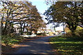
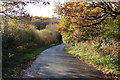
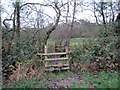
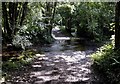
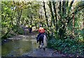
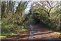
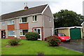
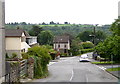
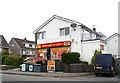
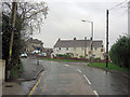
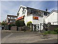
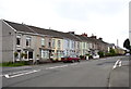
14 photos from this area
Area Information
Key information about the SA2 7TH including its size, population, and administrative classification.
- Area Type
- Postcode
- Area Size
- 1.8 hectares
- Population
- 1394
- Population Density
- 1421 people/km²
House Prices in SA2 7TH
44
Properties
£146,747
Average Sold Price
£39,300
Lowest Price
£341,000
Highest Price
Showing 44 properties
| Address | Type | Beds | Baths | Last Sale Price | Last Sale Date | |
|---|---|---|---|---|---|---|
| 82 Killan Road, Dunvant, Swansea, SA2 7TH | Terraced | 3 | 1 | £204,500 | May 2025 | |
| 64 Killan Road, Dunvant, Swansea, SA2 7TH | Terraced | 3 | 1 | £178,000 | Jun 2024 | |
| 68 Killan Road, Dunvant, Swansea, SA2 7TH | house | - | - | £185,000 | Nov 2022 | |
| 54 Killan Road, Dunvant, Swansea, SA2 7TH | Terraced | 3 | 1 | £230,500 | Jul 2022 | |
| 59 Killan Road, Dunvant, Swansea, SA2 7TH | Terraced | 3 | 1 | £185,000 | Mar 2022 | |
| 56 Killan Road, Dunvant, Swansea, SA2 7TH | Terraced | 3 | 1 | £172,500 | Feb 2022 | |
| 57 Killan Road, Dunvant, Swansea, SA2 7TH | house | - | - | £151,000 | Jul 2021 | |
| 51 Killan Road, Dunvant, Swansea, SA2 7TH | Land | - | - | £140,000 | Mar 2021 | |
| 65 Killan Road, Dunvant, Swansea, SA2 7TH | Semi-detached | - | - | £180,000 | Jul 2020 | |
| 58 Killan Road, Dunvant, Swansea, SA2 7TH | Terraced | 3 | 1 | £124,000 | Jul 2018 |
Page 1 of 5
Energy Efficiency in SA2 7TH
Amenities
Schools
| Rank | School | Type | Entry gender | Ages |
|---|
Explore more schools in this area
Go to Schools tabDemographics
Household Size
Two person
most common
Accommodation Type
Houses
most common
Tenure
85
majority
Ethnic Group
White
most common
Religion
N/A
most common
Household Composition
N/A
most common
Age
47
median
Adults (30-64 years)
most common
Household Deprivation
N/A
with no deprivation
NS-SEC
38
in Lower managerial occupations
Explore more demographic insights in this area
Go to Demographics tabPlanning
Planning Constraints
- Flood RiskPremium
- Ramsar Wetland SitesPremium
- Area of Outstanding Natural BeautyPremium
- Protected Nature ReservePremium
- Protected WoodlandPremium
- Crime RiskPremium