Area Overview for SA2 0QA
Photos of SA2 0QA
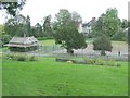
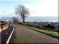
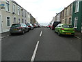
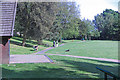
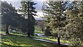
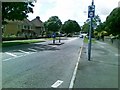
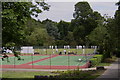
29 photos from this area
Area Information
Key information about the SA2 0QA including its size, population, and administrative classification.
- Area Type
- Postcode
- Area Size
- 6832 m²
- Population
- 1379
- Population Density
- 5265 people/km²
House Prices in SA2 0QA
41
Properties
£110,281
Average Sold Price
£41,500
Lowest Price
£204,950
Highest Price
Showing 41 properties
| Address | Type | Beds | Baths | Last Sale Price | Last Sale Date | |
|---|---|---|---|---|---|---|
| Ground Floor Flat, 65A Glanmor Road, Uplands, Swansea, SA2 0QA | Flat | 1 | 1 | £125,000 | Jun 2025 | |
| 99 Glanmor Road, Uplands, Swansea, SA2 0QA | house | 5 | - | £157,000 | Aug 2018 | |
| 85 Glanmor Road, Uplands, Swansea, SA2 0QA | Terraced | 7 | 4 | £204,950 | May 2017 | |
| 87 Glanmor Road, Uplands, Swansea, SA2 0QA | house | 5 | - | £134,000 | Feb 2010 | |
| 59 Glanmor Road, Uplands, Swansea, SA2 0QA | Terraced | 5 | - | £160,000 | Aug 2008 | |
| 101 Glanmor Road, Uplands, Swansea, SA2 0QA | Terraced | 1 | 2 | £179,000 | Aug 2005 | |
| 75 Glanmor Road, Uplands, Swansea, SA2 0QA | Terraced | - | - | £130,000 | Jan 2005 | |
| 77 Glanmor Road, Uplands, Swansea, SA2 0QA | house | 6 | 2 | £80,000 | Oct 2002 | |
| 95 Glanmor Road, Uplands, Swansea, SA2 0QA | Unknown | - | - | £55,000 | Mar 2002 | |
| 57 Glanmor Road, Uplands, Swansea, SA2 0QA | house | - | - | £59,000 | Jan 2002 |
Page 1 of 5
Energy Efficiency in SA2 0QA
Amenities
Schools
| Rank | School | Type | Entry gender | Ages |
|---|
Explore more schools in this area
Go to Schools tabDemographics
Household Size
One person
most common
Accommodation Type
Houses
most common
Tenure
51
majority
Ethnic Group
White
most common
Religion
N/A
most common
Household Composition
N/A
most common
Age
47
median
Young Adults (15-29 years)
most common
Household Deprivation
N/A
with no deprivation
NS-SEC
32
in Lower managerial occupations
Explore more demographic insights in this area
Go to Demographics tabPlanning
Planning Constraints
- Flood RiskPremium
- Ramsar Wetland SitesPremium
- Area of Outstanding Natural BeautyPremium
- Protected Nature ReservePremium
- Protected WoodlandPremium
- Crime RiskPremium