Area Overview for SA1 4HE
Photos of SA1 4HE
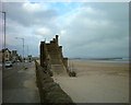
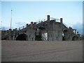

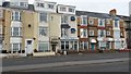
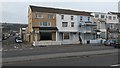
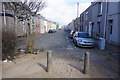
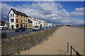
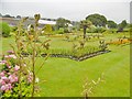
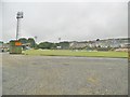
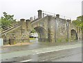
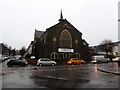
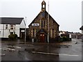
100 photos from this area
Area Information
Key information about the SA1 4HE including its size, population, and administrative classification.
- Area Type
- Postcode
- Area Size
- 3517 m²
- Population
- 1587
- Population Density
- 10552 people/km²
House Prices in SA1 4HE
17
Properties
£99,763
Average Sold Price
£38,000
Lowest Price
£200,000
Highest Price
Showing 17 properties
| Address | Type | Beds | Baths | Last Sale Price | Last Sale Date | |
|---|---|---|---|---|---|---|
| 2 Nicholl Street, Central Swansea, Swansea, SA1 4HE | Terraced | 5 | 2 | £200,000 | Nov 2021 | |
| 15 Nicholl Street, Central Swansea, Swansea, SA1 4HE | house | 3 | 2 | £131,000 | Jan 2019 | |
| 16 Nicholl Street, Central Swansea, Swansea, SA1 4HE | Terraced | 5 | 2 | £100,000 | Jun 2013 | |
| 5 Nicholl Street, Central Swansea, Swansea, SA1 4HE | Terraced | 3 | - | £146,250 | Jun 2007 | |
| 6 Nicholl Street, Swansea, SA1 4HE | Terraced | 4 | 1 | £150,000 | Sep 2006 | |
| 7 Nicholl Street, Central Swansea, Swansea, SA1 4HE | house | - | - | £136,000 | Aug 2004 | |
| 11 Nicholl Street, Central Swansea, Swansea, SA1 4HE | house | - | - | £94,000 | Oct 2003 | |
| 8 Nicholl Street, Central Swansea, Swansea, SA1 4HE | Terraced | 3 | - | £50,000 | Mar 2003 | |
| 4 Nicholl Street, Central Swansea, Swansea, SA1 4HE | Terraced | - | - | £59,950 | Feb 2001 | |
| 13 Nicholl Street, Central Swansea, Swansea, SA1 4HE | house | - | - | £38,000 | Jun 2000 |
Page 1 of 2
Energy Efficiency in SA1 4HE
Amenities
Schools
| Rank | School | Type | Entry gender | Ages |
|---|
Explore more schools in this area
Go to Schools tabDemographics
Household Size
One person
most common
Accommodation Type
Houses
most common
Tenure
34
majority
Ethnic Group
White
most common
Religion
N/A
most common
Household Composition
N/A
most common
Age
22
median
Young Adults (15-29 years)
most common
Household Deprivation
N/A
with no deprivation
NS-SEC
20
in Lower managerial occupations
Explore more demographic insights in this area
Go to Demographics tabPlanning
Planning Constraints
- Flood RiskPremium
- Ramsar Wetland SitesPremium
- Area of Outstanding Natural BeautyPremium
- Protected Nature ReservePremium
- Protected WoodlandPremium
- Crime RiskPremium