Area Overview for Pontlliw and Tircoed Community

Ysgol Pontlliw.  Pontlliw School. in Pontlliw and Tircoed Community
Pontlliw Post Office & Village Stores in Pontlliw and Tircoed Community
Trevor Lewis Signs van in Pontlliw in Pontlliw and Tircoed Community
St Anne's Church, Pontlliw in Pontlliw and Tircoed Community
From 40 to 30 in Pontlliw in Pontlliw and Tircoed Community
Southern entrance to Rasoi Indian Kitchen in Pontlliw in Pontlliw and Tircoed Community
Barbed wire on a field gate in Pontlliw in Pontlliw and Tircoed Community
Reduce speed now, Pontlliw in Pontlliw and Tircoed Community
Bryn Road bungalows in Pontlliw in Pontlliw and Tircoed Community
Vague message on a road sign in Pontlliw in Pontlliw and Tircoed Community
Speed camera sign and speed camera in Pontlliw in Pontlliw and Tircoed Community
Heol-y-Parc, Pontlliw in Pontlliw and Tircoed Community
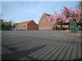
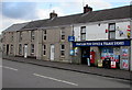
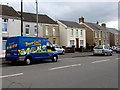
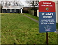
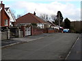
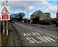
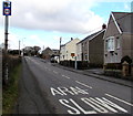
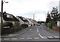
31 photos from this area

Area Information

Key information about the Pontlliw and Tircoed Community including its size, population, and administrative classification.

Area Type
Parish
Area Size
5.5 km²
Population
Not available
Population Density
Not available

Demographics

Household Size

total
most common

Accommodation Type

total
most common

Tenure

85
majority

Ethnic Group

total
most common

Religion

total
most common

Household Composition

total
most common

Age

70
median
Age: Total
most common

Household Deprivation

N/A
with no deprivation

NS-SEC

42
in Lower managerial occupations

Explore more demographic insights in this area

Go to Demographics tab

Planning

Planning Constraints

  • Flood Risk
    Locked
  • Ramsar Wetland Sites
    Locked
  • Area of Outstanding Natural Beauty
    Locked
  • Protected Nature Reserve
    Locked
  • Protected Woodland
    Locked
  • Crime Risk
    Locked

Explore more planning insights in this area

Open Planning map

We use cookies to provide you with the best experience. By continuing, you agree to our Cookie Policy .