Area Overview for Gowerton Community
Photos of Gowerton Community
Area Information
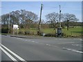
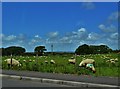
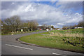
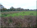
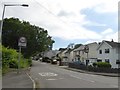
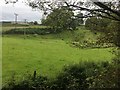
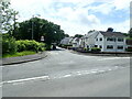
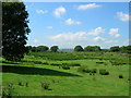
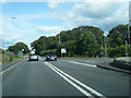
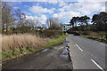
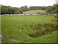
Gowerton is a large civil parish situated about four miles from Swansea city centre, serving as the gateway to the Gower Peninsula. You will find over five thousand residents living within the parish community, with the built-up area including Waunarlwydd reaching a population of more than eight thousand people. This area spans eight point two square kilometres, offering a village atmosphere while maintaining easy access to the wider region. Formerly known as Ffosfelin and once described as Gower Road railway station during the late nineteenth century, the location has deep roots dating back to 1870. Baptist worship formally began in the area in 1867, leading to the opening of Bethania Chapel in 1868, which stands as a testament to the community's history. Several other chapels followed, including Bethel in 1873 and St John's Church in 1882, though some have since closed. Today, the grid alignment places the settlement at SS595965, reinforcing its established position north-west of Swansea. You live here as part of a settlement that balances rural charm with proximity to a major city. The parish remains a distinct entity within the City and County of Swansea, offering a grounded environment where local history meets modern connectivity.
- Area Type
- Parish
- Area Size
- 8.2 km²
- Population
- Not available
- Population Density
- Not available
Demographics
The community demographic profile suggests a mature population where the median age is seventy years. This age range indicates a settlement with a significant number of older residents, shaping the local demand and social environment. About three-quarters of households, representing seventy-five percent of residents, own their homes. This high ownership rate creates a village character where long-term settlement is common rather than transient renting. The household composition data reflects this stability, with the total household breakdown aligning with the built-up population of over eight thousand people. There are no statistics provided regarding ethnic diversity or religious affiliation percentages, so specific details on these aspects remain unquantified in the available records. You should expect a neighbourhood where property ownership is the norm, offering a sense of rootedness and continuity. The population size of the electoral ward supports a local economy that likely relies heavily on residents who have made the municipality their permanent home. This demographic structure defines the pace of life and the type of local services that develop to meet the needs of an older, predominantly owner-occupied community.
Household Size
Accommodation Type
Tenure
Ethnic Group
Religion
Household Composition
Age
Household Deprivation
NS-SEC
Explore more demographic insights in this area
Go to Demographics tabPlanning
Planning Constraints
- Flood RiskPremium
- Ramsar Wetland SitesPremium
- Area of Outstanding Natural BeautyPremium
- Protected Nature ReservePremium
- Protected WoodlandPremium
- Crime RiskPremium