Area Overview for CF72 8PG
Photos of CF72 8PG
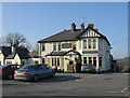
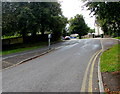
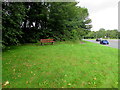
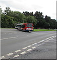
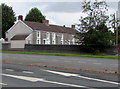
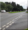
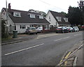
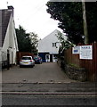
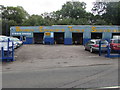
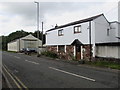
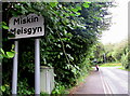
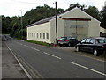
28 photos from this area
Area Information
Key information about the CF72 8PG including its size, population, and administrative classification.
- Area Type
- Postcode
- Area Size
- 40.6 hectares
- Population
- 2031
- Population Density
- 1470 people/km²
House Prices in CF72 8PG
24
Properties
£323,738
Average Sold Price
£209,950
Lowest Price
£455,000
Highest Price
Showing 24 properties
| Address | Type | Beds | Baths | Last Sale Price | Last Sale Date | |
|---|---|---|---|---|---|---|
| The Old School House, 0 School Road, Miskin, Pontyclun, CF72 8PG | Detached | 5 | 3 | £375,000 | Nov 2019 | |
| Owls Flight, School Road, Miskin, Pontyclun, CF72 8PG | house | - | - | £455,000 | Dec 2017 | |
| Solva, School Road, Miskin, Pontyclun, CF72 8PG | Detached | 3 | - | £255,000 | Oct 2015 | |
| Karenza, School Road, Miskin, Pontyclun, CF72 8PG | Bungalow | 2 | - | £209,950 | Jul 2013 | |
| All Hallows Rc Church, School Road, Miskin, Pontyclun, CF72 8PG | commercial | - | - | - | - | |
| Tarmac Quarry Products, School Road, Miskin, Pontyclun, CF72 8PG | retail_financial | - | - | - | - | |
| Meadow View, School Road, Miskin, Pontyclun, CF72 8PG | Detached | - | - | - | - | |
| Bobs Fishing Tackle And Bait Shop, School Road, Miskin, Pontyclun, CF72 8PG | shop | - | - | - | - | |
| Braceys Garden Centre And Aggregates, School Road, Miskin, Pontyclun, CF72 8PG | shop | - | - | - | - | |
| Texaco, Texaco Petrol Station, School Road, Miskin, Pontyclun, CF72 8PG | Retail | - | - | - | - |
Page 1 of 3
Energy Efficiency in CF72 8PG
Amenities
Schools
| Rank | School | Type | Entry gender | Ages |
|---|
Explore more schools in this area
Go to Schools tabDemographics
Household Size
Family (3-5 people)
most common
Accommodation Type
Houses
most common
Tenure
92
majority
Ethnic Group
White
most common
Religion
N/A
most common
Household Composition
N/A
most common
Age
47
median
Adults (30-64 years)
most common
Household Deprivation
N/A
with no deprivation
NS-SEC
59
in Lower managerial occupations
Explore more demographic insights in this area
Go to Demographics tabPlanning
Planning Constraints
- Flood RiskPremium
- Ramsar Wetland SitesPremium
- Area of Outstanding Natural BeautyPremium
- Protected Nature ReservePremium
- Protected WoodlandPremium
- Crime RiskPremium