Area Overview for CF45 4PP
Photos of CF45 4PP
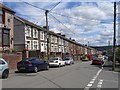
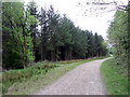
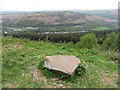
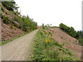
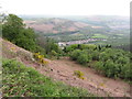
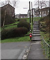
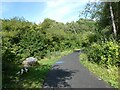
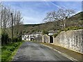
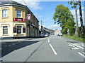
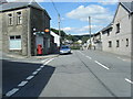
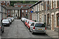
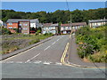
18 photos from this area
Area Information
Key information about the CF45 4PP including its size, population, and administrative classification.
- Area Type
- Postcode
- Area Size
- 4.5 hectares
- Population
- 1488
- Population Density
- 365 people/km²
House Prices in CF45 4PP
42
Properties
£170,955
Average Sold Price
£77,000
Lowest Price
£410,000
Highest Price
Showing 42 properties
| Address | Type | Beds | Baths | Last Sale Price | Last Sale Date | |
|---|---|---|---|---|---|---|
| 9 Grovers Field, Abercynon, CF45 4PP | Detached | 2 | 1 | £151,000 | Oct 2023 | |
| 22 Grovers Field, Abercynon, CF45 4PP | Retail | 5 | 3 | £410,000 | Sep 2022 | |
| Bonner House, 40 Grovers Field, Abercynon, CF45 4PP | house | - | - | £330,000 | Dec 2021 | |
| 15 Grovers Field, Abercynon, CF45 4PP | Bungalow | 2 | - | £200,000 | Jun 2021 | |
| 24 Grovers Field, Abercynon, CF45 4PP | Detached | 4 | 2 | £227,995 | Mar 2018 | |
| 1 Grovers Field, Abercynon, CF45 4PP | Detached | 4 | 2 | £232,500 | Jun 2016 | |
| 39 Grovers Field, Abercynon, CF45 4PP | Detached | 3 | 2 | £203,000 | Mar 2014 | |
| Coedgarwon, 12 Grovers Field, Abercynon, CF45 4PP | house | - | - | £185,000 | Oct 2011 | |
| 33 Grovers Field, Abercynon, CF45 4PP | Detached | - | - | £240,000 | Dec 2010 | |
| 5 Grovers Field, Abercynon, CF45 4PP | house | - | - | £164,000 | Apr 2010 |
Page 1 of 5
Energy Efficiency in CF45 4PP
Amenities
Schools
| Rank | School | Type | Entry gender | Ages |
|---|
Explore more schools in this area
Go to Schools tabDemographics
Household Size
Two person
most common
Accommodation Type
Houses
most common
Tenure
78
majority
Ethnic Group
White
most common
Religion
N/A
most common
Household Composition
N/A
most common
Age
47
median
Adults (30-64 years)
most common
Household Deprivation
N/A
with no deprivation
NS-SEC
26
in Lower managerial occupations
Explore more demographic insights in this area
Go to Demographics tabPlanning
Planning Constraints
- Flood RiskPremium
- Ramsar Wetland SitesPremium
- Area of Outstanding Natural BeautyPremium
- Protected Nature ReservePremium
- Protected WoodlandPremium
- Crime RiskPremium