Area Overview for CF44 9PA
Photos of CF44 9PA
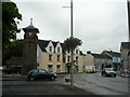
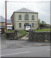
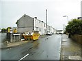
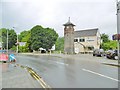
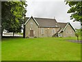
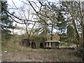
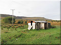
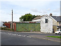

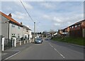
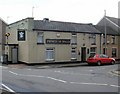
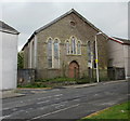
30 photos from this area
Area Information
Key information about the CF44 9PA including its size, population, and administrative classification.
- Area Type
- Postcode
- Area Size
- 1.5 hectares
- Population
- 1731
- Population Density
- 3813 people/km²
House Prices in CF44 9PA
43
Properties
£97,689
Average Sold Price
£17,000
Lowest Price
£305,000
Highest Price
Showing 43 properties
| Address | Type | Beds | Baths | Last Sale Price | Last Sale Date | |
|---|---|---|---|---|---|---|
| Brookside, 14 Tramway, Hirwaun, CF44 9PA | house | - | - | £305,000 | May 2025 | |
| 52 Tramway, Hirwaun, CF44 9PA | Semi-detached | 2 | 1 | £156,000 | Apr 2025 | |
| 62 Tramway, Hirwaun, CF44 9PA | Terraced | - | - | £248,000 | Nov 2022 | |
| 45 Tramway, Hirwaun, CF44 9PA | Terraced | - | - | £50,000 | Sep 2022 | |
| 61 Tramway, Hirwaun, CF44 9PA | Terraced | 3 | 1 | £83,000 | May 2021 | |
| 34 Tramway, Hirwaun, CF44 9PA | house | 2 | 1 | £76,000 | Jul 2019 | |
| 51 Tramway, Hirwaun, CF44 9PA | house | - | - | £80,000 | Jan 2019 | |
| 35 Tramway, Hirwaun, CF44 9PA | house | 2 | 1 | £69,000 | Apr 2018 | |
| Ty Coch, 17 Tramway, Hirwaun, CF44 9PA | house | - | - | £172,500 | Sep 2009 | |
| 41 Tramway, Hirwaun, CF44 9PA | house | - | - | £94,700 | Jul 2009 |
Page 1 of 5
Energy Efficiency in CF44 9PA
Amenities
Schools
| Rank | School | Type | Entry gender | Ages |
|---|
Explore more schools in this area
Go to Schools tabDemographics
Household Size
Family (3-5 people)
most common
Accommodation Type
Houses
most common
Tenure
79
majority
Ethnic Group
White
most common
Religion
N/A
most common
Household Composition
N/A
most common
Age
47
median
Adults (30-64 years)
most common
Household Deprivation
N/A
with no deprivation
NS-SEC
32
in Lower managerial occupations
Explore more demographic insights in this area
Go to Demographics tabPlanning
Planning Constraints
- Flood RiskPremium
- Ramsar Wetland SitesPremium
- Area of Outstanding Natural BeautyPremium
- Protected Nature ReservePremium
- Protected WoodlandPremium
- Crime RiskPremium