Area Overview for CF43 3YB
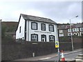
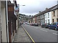
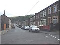
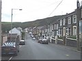
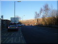
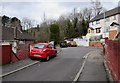
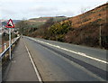
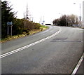
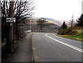
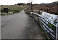
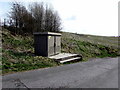
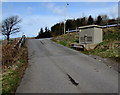
Photos of CF43 3YB
Area Information
CF43 3YB is a small residential cluster in the Rhondda Valley, Wales, with a population of 1,222. Nestled between Blaenllechau, Ferndale, and Penrhys, it retains echoes of its 19th-century coal-mining past. The area’s character is shaped by its historical roots, including the Tylorstown Welfare Hall—a 1933 French Baroque-style building that once served miners and now hosts community events. Despite economic decline after the 1984–85 miners’ strike, the area has retained a sense of local identity. Residents benefit from nearby rail stations, including Llwynypia and Ystrad Rhondda, though the local line closed in 1964. The Rhondda by-pass, opened in 2006, improves road access to neighbouring Pontygwaith. With a median age of 47 and a population skewed toward adults aged 30–64, CF43 3YB is a mature community, offering a quiet, compact living environment with proximity to cultural and historical landmarks.
- Area Type
- Postcode
- Area Size
- Not available
- Population
- 1222
- Population Density
- 1706 people/km²
CF43 3YB’s property market is characterised by a 41% home ownership rate, indicating that nearly two-thirds of properties are likely rented. The accommodation type is predominantly houses, reflecting a residential area with limited high-density development. Given the small population and compact nature of the postcode, the housing stock is likely limited to a handful of properties, many of which may be older, reflecting the area’s 19th-century origins. Buyers should consider that the market is small and may be influenced by the area’s historical legacy, with properties potentially retaining architectural features from the coal-mining era. The low home ownership rate suggests a rental market, though the specific availability of properties for sale is not detailed in the data.
House Prices in CF43 3YB
No properties found in this postcode.
Energy Efficiency in CF43 3YB
The lifestyle in CF43 3YB is shaped by its proximity to community and historical sites. Retail options include Morrisons Daily, Lidl Tylorstown, and Asda Tonypandy, providing essential shopping within reach. The Tylorstown Welfare Hall, a restored 1933 building, serves as a community hub, while Holy Trinity Church (1882–3) and the Rhondda Fach Sports Centre offer recreational and cultural activities. The area’s landmarks, such as the cemetery chapel (1884), reflect its mining heritage. With nearby rail stations and the Rhondda by-pass, residents can access both local amenities and regional connections. The mix of retail, leisure, and historical sites creates a balanced environment for daily life, blending practicality with a sense of place.
Amenities
Schools
Residents of CF43 3YB have access to four schools within proximity: Tir Gwaidd Nursery School, Penrhys Infant School, Penrhys Junior School, and Penrhys Primary School. These institutions cover early years through primary education, offering a range of options for families. While the data does not specify Ofsted ratings, the presence of multiple schools suggests a focus on education within the community. The schools’ names and types indicate a structured approach to schooling, with separate facilities for different age groups. Families seeking a variety of educational settings may find this cluster of schools advantageous, though the quality of provision would require further local investigation.
| Rank | School | Type | Entry gender | Ages |
|---|
Explore more schools in this area
Go to Schools tabDemographics
The population of CF43 3YB is predominantly adults aged 30–64, with a median age of 47. Home ownership stands at 41%, suggesting a mix of owner-occupied and rental properties. The area’s accommodation is primarily houses, reflecting a traditional residential layout. The predominant ethnic group is White, with no specific data on diversity beyond this. While the data does not quantify deprivation levels, the community’s age profile and housing stock indicate a stable, long-term resident base. The absence of younger families or higher-density housing suggests a focus on established households. This demographic profile aligns with the area’s historical role as a mining community, where housing was once provided for workers.
Household Size
Accommodation Type
Tenure
Ethnic Group
Religion
Household Composition
Age
Household Deprivation
NS-SEC
Explore more demographic insights in this area
Go to Demographics tabPlanning
Planning Constraints
- Flood RiskPremium
- Ramsar Wetland SitesPremium
- Area of Outstanding Natural BeautyPremium
- Protected Nature ReservePremium
- Protected WoodlandPremium
- Crime RiskPremium