Area Overview for CF42 6SH
Photos of CF42 6SH
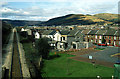
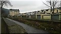
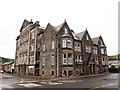
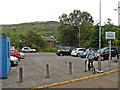
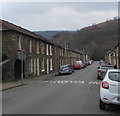
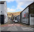
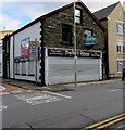
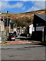
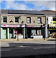
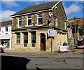
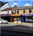
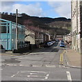
100 photos from this area
Area Information
Key information about the CF42 6SH including its size, population, and administrative classification.
- Area Type
- Postcode
- Area Size
- 4840 m²
- Population
- 1452
- Population Density
- 1408 people/km²
House Prices in CF42 6SH
22
Properties
£86,269
Average Sold Price
£20,000
Lowest Price
£215,000
Highest Price
Showing 22 properties
| Address | Type | Beds | Baths | Last Sale Price | Last Sale Date | |
|---|---|---|---|---|---|---|
| 38 Stuart Street, Treorchy, CF42 6SH | Terraced | 3 | 2 | £215,000 | Mar 2024 | |
| 45 Stuart Street, Treorchy, CF42 6SH | house | - | - | £146,500 | Jun 2017 | |
| 59 Stuart Street, Treorchy, CF42 6SH | house | - | - | £194,000 | Sep 2013 | |
| 46 Stuart Street, Treorchy, CF42 6SH | house | 3 | - | £77,000 | Nov 2012 | |
| 51 Stuart Street, Treorchy, CF42 6SH | house | - | - | £95,000 | May 2006 | |
| 50 Stuart Street, Treorchy, CF42 6SH | Terraced | - | - | £62,000 | Nov 2003 | |
| 57 Stuart Street, Treorchy, CF42 6SH | house | - | - | £97,500 | Jun 2003 | |
| 49 Stuart Street, Treorchy, CF42 6SH | house | - | - | £53,000 | Jul 2002 | |
| 44 Stuart Street, Treorchy, CF42 6SH | house | - | - | £30,500 | Jan 2001 | |
| 41 Stuart Street, Treorchy, CF42 6SH | Terraced | 3 | 1 | £20,000 | Sep 1998 |
Page 1 of 3
Energy Efficiency in CF42 6SH
Amenities
Schools
| Rank | School | Type | Entry gender | Ages |
|---|
Explore more schools in this area
Go to Schools tabDemographics
Household Size
Two person
most common
Accommodation Type
Houses
most common
Tenure
80
majority
Ethnic Group
White
most common
Religion
N/A
most common
Household Composition
N/A
most common
Age
47
median
Adults (30-64 years)
most common
Household Deprivation
N/A
with no deprivation
NS-SEC
28
in Lower managerial occupations
Explore more demographic insights in this area
Go to Demographics tabPlanning
Planning Constraints
- Flood RiskPremium
- Ramsar Wetland SitesPremium
- Area of Outstanding Natural BeautyPremium
- Protected Nature ReservePremium
- Protected WoodlandPremium
- Crime RiskPremium