Area Overview for CF42 6DE
Photos of CF42 6DE
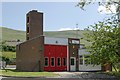
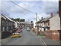
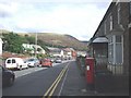
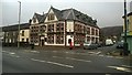
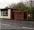
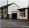
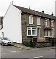
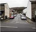
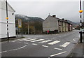
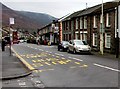
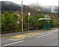
100 photos from this area
Area Information
Key information about the CF42 6DE including its size, population, and administrative classification.
- Area Type
- Postcode
- Area Size
- 1.5 hectares
- Population
- 1744
- Population Density
- 6028 people/km²
House Prices in CF42 6DE
52
Properties
£65,793
Average Sold Price
£13,500
Lowest Price
£132,000
Highest Price
Showing 52 properties
| Address | Type | Beds | Baths | Last Sale Price | Last Sale Date | |
|---|---|---|---|---|---|---|
| 50 Glynrhondda Street, Treorchy, CF42 6DE | Terraced | 2 | 1 | £126,000 | Mar 2025 | |
| 40 Glynrhondda Street, Treorchy, CF42 6DE | house | 2 | 1 | £132,000 | Jan 2024 | |
| 33 Glynrhondda Street, Treorchy, CF42 6DE | Terraced | 2 | 1 | £127,500 | Nov 2022 | |
| 36 Glynrhondda Street, Treorchy, CF42 6DE | house | 2 | 1 | £69,000 | Nov 2022 | |
| 10 Glynrhondda Street, Treorchy, CF42 6DE | house | - | - | £95,000 | Aug 2022 | |
| 42 Glynrhondda Street, Treorchy, CF42 6DE | Retail | 2 | 1 | £122,995 | Aug 2022 | |
| 39 Glynrhondda Street, Treorchy, CF42 6DE | Retail | 2 | 1 | £123,500 | Feb 2022 | |
| 52 Glynrhondda Street, Treorchy, CF42 6DE | house | - | - | £60,000 | Feb 2022 | |
| 41 Glynrhondda Street, Treorchy, CF42 6DE | Terraced | 2 | 1 | £80,000 | Sep 2021 | |
| 32 Glynrhondda Street, Treorchy, CF42 6DE | house | - | - | £75,000 | Mar 2021 |
Page 1 of 6
Energy Efficiency in CF42 6DE
Amenities
Schools
| Rank | School | Type | Entry gender | Ages |
|---|
Explore more schools in this area
Go to Schools tabDemographics
Household Size
Two person
most common
Accommodation Type
Houses
most common
Tenure
76
majority
Ethnic Group
White
most common
Religion
N/A
most common
Household Composition
N/A
most common
Age
47
median
Adults (30-64 years)
most common
Household Deprivation
N/A
with no deprivation
NS-SEC
26
in Lower managerial occupations
Explore more demographic insights in this area
Go to Demographics tabPlanning
Planning Constraints
- Flood RiskPremium
- Ramsar Wetland SitesPremium
- Area of Outstanding Natural BeautyPremium
- Protected Nature ReservePremium
- Protected WoodlandPremium
- Crime RiskPremium