Area Overview for CF40 2UZ
Photos of CF40 2UZ
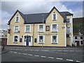
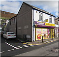
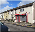
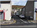
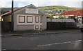
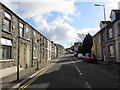
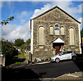
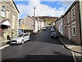
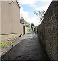
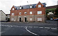
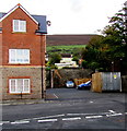
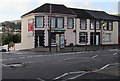
93 photos from this area
Area Information
Key information about the CF40 2UZ including its size, population, and administrative classification.
- Area Type
- Postcode
- Area Size
- 7870 m²
- Population
- 1603
- Population Density
- 950 people/km²
House Prices in CF40 2UZ
27
Properties
£83,363
Average Sold Price
£15,000
Lowest Price
£191,000
Highest Price
Showing 27 properties
| Address | Type | Beds | Baths | Last Sale Price | Last Sale Date | |
|---|---|---|---|---|---|---|
| 2 Garth Road, Trealaw, Tonypandy, CF40 2UZ | house | - | - | £191,000 | May 2024 | |
| 10 Garth Road, Trealaw, Tonypandy, CF40 2UZ | Terraced | 3 | 1 | £120,000 | Sep 2021 | |
| 6 Garth Road, Trealaw, Tonypandy, CF40 2UZ | Terraced | 3 | 1 | £112,500 | Nov 2020 | |
| 4 Garth Road, Trealaw, Tonypandy, CF40 2UZ | house | - | - | £110,000 | Jul 2020 | |
| 9 Garth Road, Trealaw, Tonypandy, CF40 2UZ | house | - | - | £60,000 | Feb 2018 | |
| 18 Garth Road, Trealaw, Tonypandy, CF40 2UZ | house | - | - | £75,000 | Jul 2016 | |
| 20 Garth Road, Trealaw, Tonypandy, CF40 2UZ | house | - | - | £90,000 | Mar 2016 | |
| 15 Garth Road, Trealaw, Tonypandy, CF40 2UZ | house | 3 | - | £93,500 | Jul 2015 | |
| Sunnyhill, 20A Garth Road, Trealaw, Tonypandy, CF40 2UZ | house | 3 | - | £108,000 | Jan 2013 | |
| 11 Garth Road, Trealaw, Tonypandy, CF40 2UZ | Terraced | - | - | £68,000 | Aug 2006 |
Page 1 of 3
Energy Efficiency in CF40 2UZ
Amenities
Schools
| Rank | School | Type | Entry gender | Ages |
|---|
Explore more schools in this area
Go to Schools tabDemographics
Household Size
Family (3-5 people)
most common
Accommodation Type
Houses
most common
Tenure
76
majority
Ethnic Group
White
most common
Religion
N/A
most common
Household Composition
N/A
most common
Age
47
median
Adults (30-64 years)
most common
Household Deprivation
N/A
with no deprivation
NS-SEC
23
in Lower managerial occupations
Explore more demographic insights in this area
Go to Demographics tabPlanning
Planning Constraints
- Flood RiskPremium
- Ramsar Wetland SitesPremium
- Area of Outstanding Natural BeautyPremium
- Protected Nature ReservePremium
- Protected WoodlandPremium
- Crime RiskPremium